
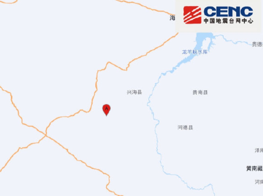
On the morning of July 28th, a series of earthquakes with magnitudes of 5.7 and 5.8 struck Xinghai County, Hainan Prefecture, Qinghai Province, with noticeable tremors felt in Xining and Lanzhou.
According to the China Earthquake Networks Center, a 5.7 magnitude earthquake occurred at 11:16 am on July 28th in Xinghai County, Hainan Prefecture, Qinghai Province, with a depth of 10 kilometers at coordinates 35.35 degrees north latitude and 99.57 degrees east longitude. Subsequently, at 11:34 am, a 5.8 magnitude earthquake hit the same region with the epicenter located at 35.35 degrees north latitude and 99.58 degrees east longitude.
Residents in Lanzhou and Xining reported feeling strong tremors. Several emergency personnel evacuated from government office buildings in Xinghai County shared with media outlets that the earthquakes were noticeably felt, but there were no significant damages to nearby structures.
Data from the Qinghai Provincial Seismological Bureau indicated that the average altitude within a 5-kilometer radius of the epicenter is around 4497 meters. Villages within 5 kilometers include Sanglong, while there are no townships within 20 kilometers, and townships within 50 kilometers consist of Daheba Township, Sangdang Township, Ziketan Town, and Longcang Township.
The epicenter is located 46 kilometers from Xinghai County, 92 kilometers from Tongde County, 110 kilometers from Guinan County, 115 kilometers from Maqin County, 133 kilometers from Maduo County, 116 kilometers from Golog Tibetan Autonomous Prefecture, 142 kilometers from Hainan Tibetan Autonomous Prefecture, and 244 kilometers from Xining City.
In the 200-kilometer radius around the epicenter, there have been a total of 19 earthquakes with magnitudes of 3 or higher in the past five years, with the latest earthquake being the most significant among them.