
An unusually strong El Niño phenomenon is rapidly intensifying in the tropical Pacific region. It is on track to break intensity records and has already started to impact global weather patterns. This means that meteorologists are becoming increasingly confident in predicting how this phenomenon will affect different regions around the world in the next year or two.
Most computer models, as reported by CNN, predict that this El Niño event will be the strongest since 1950. However, its effects on humans, our lives, and economies are neither simple nor straightforward. El Niño is a complex system, and its impacts largely depend on geographic location and season. In fact, even the concept of “strongest” El Niño requires further explanation.
El Niño is a climate cycle characterized by above-average sea surface temperatures in the central and eastern tropical Pacific. These elevated temperatures transport a large amount of heat into the atmosphere through cloud cover and heavy rainfall. Jeffrey Shaman, a climate and public health researcher at Columbia University, mentioned during a recent media briefing on El Niño that the changes in weather patterns can spread globally like sound waves emanating from a struck bell.
Regarding the “record strength El Niño event,” the scientific definition is based on the magnitude of sea surface temperature increase in a specific region of the tropical Pacific. However, this alone cannot directly inform people about what will happen in their own regions.
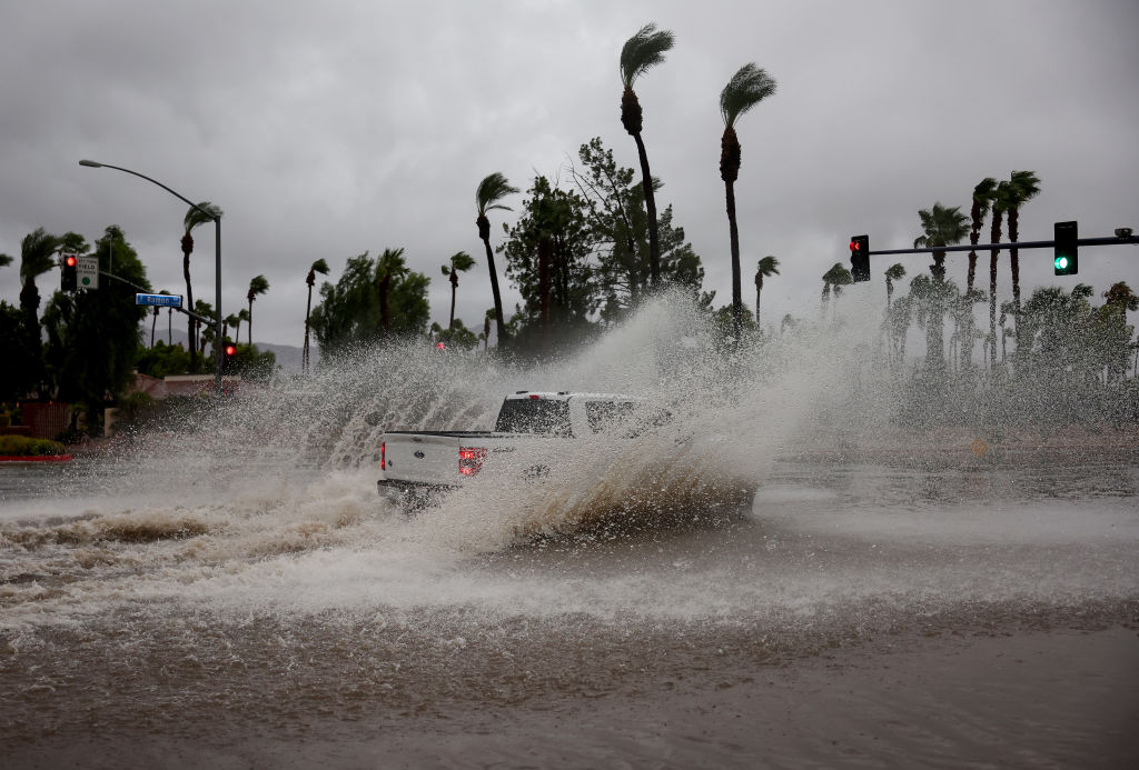
Researchers point out that contrary to intuition, the most severe El Niño events do not necessarily cause more severe impacts than slightly weaker events. Do not expect Hollywood-style massive floods every day worldwide in the coming year. The higher the measured intensity of the El Niño phenomenon, the greater the likelihood of observable “teleconnections,” which are related climate impacts. For certain regions, this indeed means extreme situations such as droughts or floods.
El Niño and La Niña phenomena are key sources of seasonal climate predictability. This means that the stronger the El Niño signal (i.e., the greater the event’s intensity), the easier its impacts are to predict. This is why current seasonal forecasts are highly reliable.
Importantly, such forecasts can provide warnings to countries about heatwaves, droughts, floods, potential disruptions in food supply, and other scenarios.
Shaman, in an interview with CNN, mentioned that understanding the potential impacts of the El Niño phenomenon in advance, such as droughts in Indonesia and Australia, reduced monsoon rains in India, and varying drought or rainfall in different regions of Africa, provides a crucial window for decision-makers to take action and help society prepare for extreme climate challenges.
In the United States, the El Niño phenomenon means higher winter temperatures in the northern region and above-average precipitation in the southern region during the fall and winter seasons, along with other climate impacts.
El Niño often leads to below-average activity in the Atlantic hurricane season, while in the tropical Pacific region, hurricane and typhoon activities are more frequent and intense than usual. For the contiguous 48 states of the US, this is an example of how an El Niño event could potentially bring beneficial impacts.
A typical effect of El Niño events is raising the global average temperature, with the warming signal from El Niño combining with the long-term global warming trend caused by human activities.
Given that this El Niño event is projected to reach record-breaking peak levels, 2026 and 2027 are likely to surpass previous records as the hottest years globally. In fact, global sea surface temperatures have been at record highs for at least two consecutive months.