
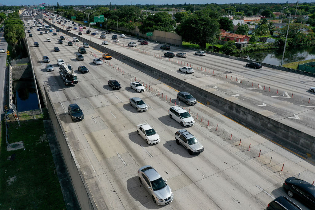
A strong storm is approaching the central Atlantic region of the United States. On Thursday, August 20th, certain areas along the most important north-south traffic artery, Interstate 95 (I-95), which spans the East Coast of the United States, are on high alert, gearing up to face a strong storm and potential flooding expected later in the day, including during the evening rush hour.
This storm sweeping through the central Atlantic region of the East Coast of the United States is forecasted to trigger severe flash floods, destructive gusts of wind, and possibly a tornado or two.
Over 25 million people in the northeastern region along Interstate 95 are within the flood warning zone. The warning area extends from the New York City area southward to the majority of New Jersey, northern Delaware, and the Philadelphia region of Pennsylvania.
The storm is expected to develop in the late afternoon and persist into the evening, causing significant disruptions for commuters during the evening rush hour in these areas.
Intense thunderstorms could bring rainfall rates of up to 2.5 inches per hour (approximately 63.5 millimeters), with total rainfall amounts potentially reaching 3 to 5 inches (approximately 76 to 127 millimeters).
The strongest storms are anticipated to start around 3 p.m., first impacting Philadelphia and Baltimore in Maryland, then reaching New York City around 5 p.m. However, weather forecasts suggest there may be a delay of several hours, with the storm potentially not hitting these areas until later in the evening.
Some areas may experience intensified storms, posing threats of not only flooding but also destructive high winds and hail.
The threat from destructive gusts of wind covers a broad area, especially in central and southern New Jersey, Philadelphia, Delaware, and eastern Maryland. The strongest gusts may topple trees and lead to power outages.
Flash flooding is possible from Virginia to Connecticut. Flood warnings issued for the Philadelphia to New York City area will remain in effect until 2 a.m. on Friday.
Baltimore and Philadelphia areas are also at risk of multiple tornadoes, extending into New Jersey.
This storm is generated by a cold front, and as this front moves away from the East Coast, the majority of the rainfall and threats of strong storms are expected to diminish around midnight.
Weather conditions on Friday are projected to significantly improve with partly sunny to cloudy skies, and temperatures reaching close to 80 degrees Fahrenheit (approximately 27 degrees Celsius). Unfortunately, there is a possibility of more storms and strong winds on Saturday.