
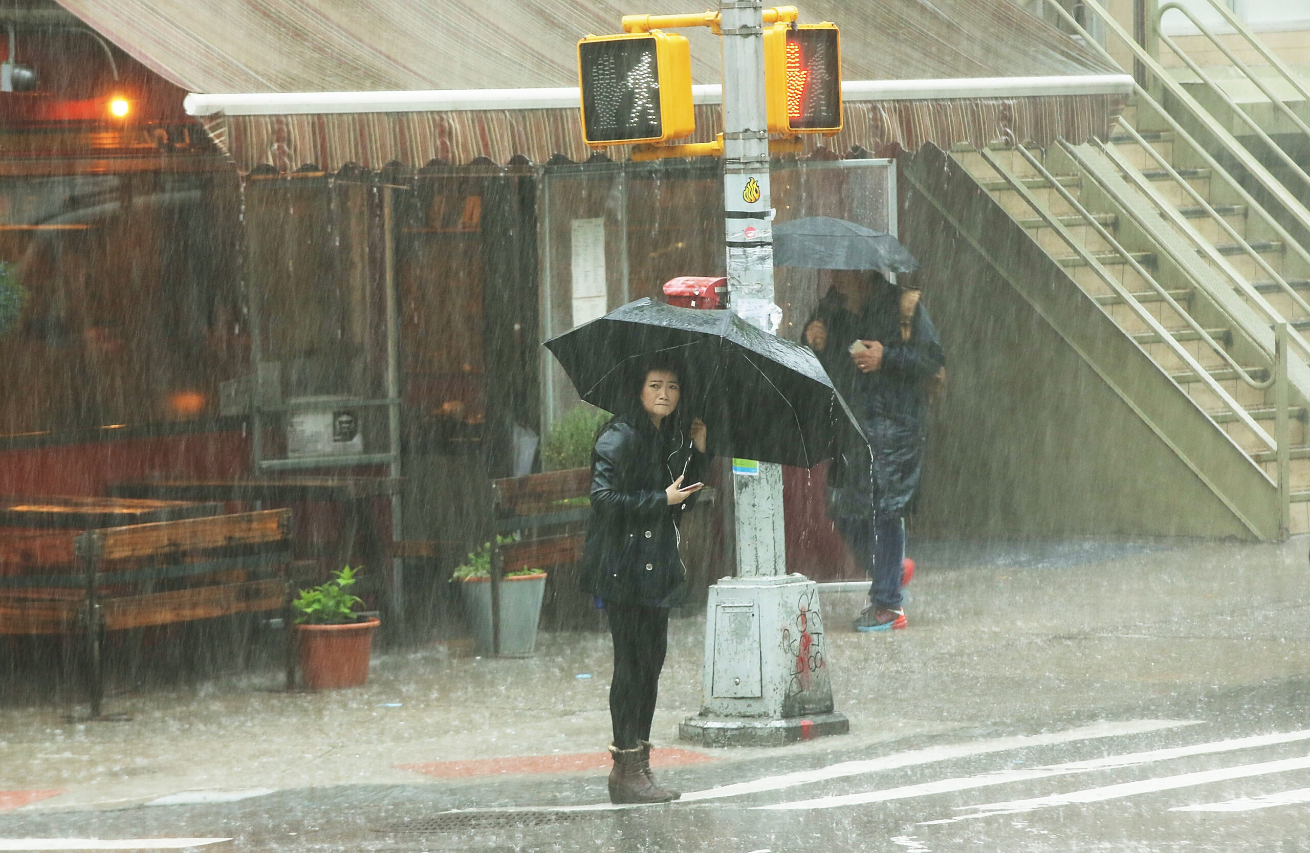
The United States National Oceanic and Atmospheric Administration’s Storm Prediction Center has issued a level 2 severe thunderstorm risk alert, affecting parts of the northeastern and mid-Atlantic regions starting from Friday afternoon. Approximately 40 million people in these areas will face the threat of severe thunderstorms.
According to the warning, states such as Connecticut, New Jersey, New York, Pennsylvania, Delaware, and Maryland in the northeastern United States are within the range of this severe thunderstorm threat. Major metropolitan areas like New York City, Philadelphia, Washington D.C., and Baltimore will also be impacted.
Fox News reported on Friday, August 7th, that Jane Minar, a meteorologist at FOX Weather, mentioned that aside from severe thunderstorms, the main threats include damaging winds reaching up to 65 miles per hour, with localized areas possibly experiencing small hail and lightning strikes.
Bernie Rayno, the chief meteorologist at the well-known commercial weather forecasting and media company AccuWeather, pointed out that the persistent hot air is fueling the storms, bringing heavy rainfall to these regions. Wind gusts are expected to reach up to 70 miles per hour.
A high-pressure system near the East Coast continues to transport moisture from the Atlantic Ocean northward, while a cold front extending from the Great Lakes to the central plains will result in scattered showers and thunderstorms from the southeastern to northeastern parts starting from Friday afternoon.
Areas not affected by the storms will continue to experience hot and humid weather. Heat advisories have been issued from Philadelphia to Boston, where the heat index may exceed 100 degrees Fahrenheit, with warnings extending through Saturday, August 8th.
On Saturday, due to recent rainfall saturating the soil in many areas, most of the northeastern, Ohio River Valley, and southeastern regions will face a level 1 (out of 4) flash flood risk. Major cities like New York City, Washington D.C., Charlotte, and Atlanta are all within the warning coverage area.
Localized rainfall amounts are expected to range from 0.5 to 2 inches, with the heaviest storms capable of producing up to 2.5 inches of rainfall per hour.
Areas like Bridgeport in Connecticut and Albany in New York, which have already experienced flooding, are at risk of further impacts. Both areas have already exceeded their average rainfall amounts by over 5 inches and 7 inches, respectively.
The meteorological department forecasts that starting from Monday, a line of damaging wind gusts and heavy rainfall will stretch from Illinois to West Virginia, with the highest flash flood risk in southeastern Ohio, eastern Kentucky, the highlands of West Virginia, and southwestern Pennsylvania due to consecutive downpours.