
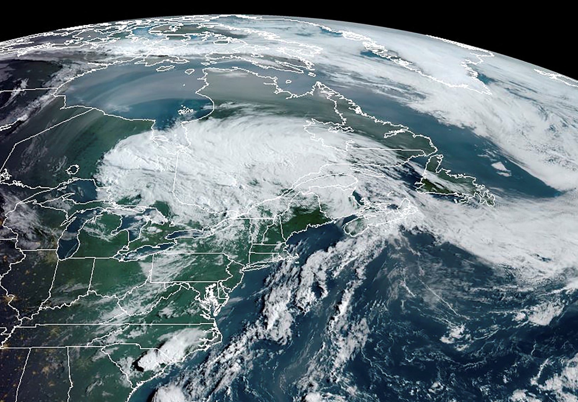
Tropical storm “Isaias” developed earlier on Wednesday (October 7) in the southwestern part of the Gulf of Mexico, specifically in the Bay of Campeche, as it upgraded from a tropical depression to a storm. Forecasts suggest that it will become the first hurricane of the year in the Atlantic basin.
This marks the end of a rare quiet period in September without any hurricane formations in the Atlantic since 1914, breaking the record for the “latest first hurricane formation” in Atlantic meteorological history.
The National Hurricane Center (NHC) in the United States issued a warning stating that “Isaias” is in an extremely favorable environment for development and is expected to rapidly intensify within the next one to two days. Meteorologists caution that as the storm approaches the northern Gulf of Mexico coast, it could escalate to a Category 3 major hurricane and potentially make landfall with significant intensity.
Climatologists note that in a typical year, the peak of hurricane activity in the Atlantic falls between late August and September. However, this year’s Atlantic basin experienced a prolonged lack of hurricanes due to unusually strong El Niño conditions, resulting in high levels of vertical wind shear that severely inhibited tropical cyclone organization, leading to the longest hurricane-free period on record in the Atlantic.
The current potential crisis stems from the fact that water temperatures in the Gulf of Mexico have surged to their highest levels on record since 1982. This warm water serves as abundant fuel for “Isaias,” providing ample energy for its explosive strengthening.
According to data from Fox Weather and the NHC, when “Isaias” first formed, its maximum sustained winds were 40 miles per hour, located about 600 miles south of the mouth of the Mississippi River, moving in an east-northeasterly direction at 8 miles per hour. The Fox Prediction Center forecasts a sharp intensification of the storm:
Phase One:
Winds are expected to reach 75 miles per hour, reaching hurricane status, between Wednesday morning and early Thursday.
Phase Two:
Winds are projected to further increase to a Category 2 strength (110 miles per hour) between Thursday and Friday, with the potential for sustained strengthening.
Current weather predictions indicate that “Isaias” will linger in the southern Gulf of Mexico for most of Thursday, bringing heavy rainfall to the Yucatán Peninsula before being pulled northward and accelerating towards the northern Gulf Coast of the US.
The estimated landfall is expected between Friday evening and Saturday morning. The monitoring and warning zone currently issued by the NHC extends from Bay St. Louis in Mississippi to Indian Pass in Florida. On Wednesday, authorities expect to issue hurricane and storm surge watches for parts of the coastal areas.
CNN Weather and the Fox Weather team emphasize that the forecasted path of “Isaias” potentially impacts Louisiana, Mississippi, Alabama, and the Florida Panhandle, affecting an estimated population of up to 30 million people. The storm’s impact will bring multiple extreme weather threats:
1. Heavy Rainfall and Flash Flooding:
The National Oceanic and Atmospheric Administration (NOAA) has issued flash flood risk warnings, estimating cumulative rainfall of 3 to 6 inches, locally up to 6 to 10 inches. The highest risk area covers Mobile, Alabama, and west of Panama City, Florida; the moderate risk extends inland to Atlanta, Georgia, and on Saturday will reach the valleys of South and North Carolina and Tennessee.
2. Storm Surge and Destructive Gusts:
As the storm center approaches, coastal areas will face life-threatening flooding. Experts add that the most intense destructive weather could concentrate on the right side of the storm’s path.
3. Tornado Threat:
The NOAA Storm Prediction Center has issued a Level 2 severe weather alert for southern Alabama and the Florida Panhandle on Saturday, warning that the outer bands may trigger several tornadoes upon landfall.
The final intensity of the storm remains variable. Meteorological models indicate that as “Isaias” moves northward and nears land in the final 24 hours, it will encounter higher vertical wind shear along the northern coast.
Some models suggest that strong wind shear could disrupt its structure and lead to weakening just before landfall; however, given the storm’s rapid movement, the time for encountering wind shear is limited. Other models indicate that if the high-altitude winds interact with the storm in a specific way, it could sustain its high intensity. Regardless of the final landfall intensity, the threats of storm surges and inland flash floods will not diminish.
In preparation for the strong approach of “Isaias,” local governments and the energy industry have escalated their readiness. Florida Governor Ron DeSantis declared a state of emergency in 25 counties, urging residents to prepare emergency supplies and evacuation plans.
The Florida Division of Emergency Management has begun deploying generators, fuel, food, water, and flood barriers in areas such as Tallahassee and Santa Rosa.
Simultaneously, preventive measures have been taken at offshore energy facilities in the Gulf of Mexico. Shell has confirmed the evacuation of non-essential personnel from 6 offshore platforms; BP has also evacuated non-essential workers and fortified its offshore drilling facilities. The NHC urges coastal residents to implement hurricane preparedness plans before the storm’s impacts arrive on Friday.