
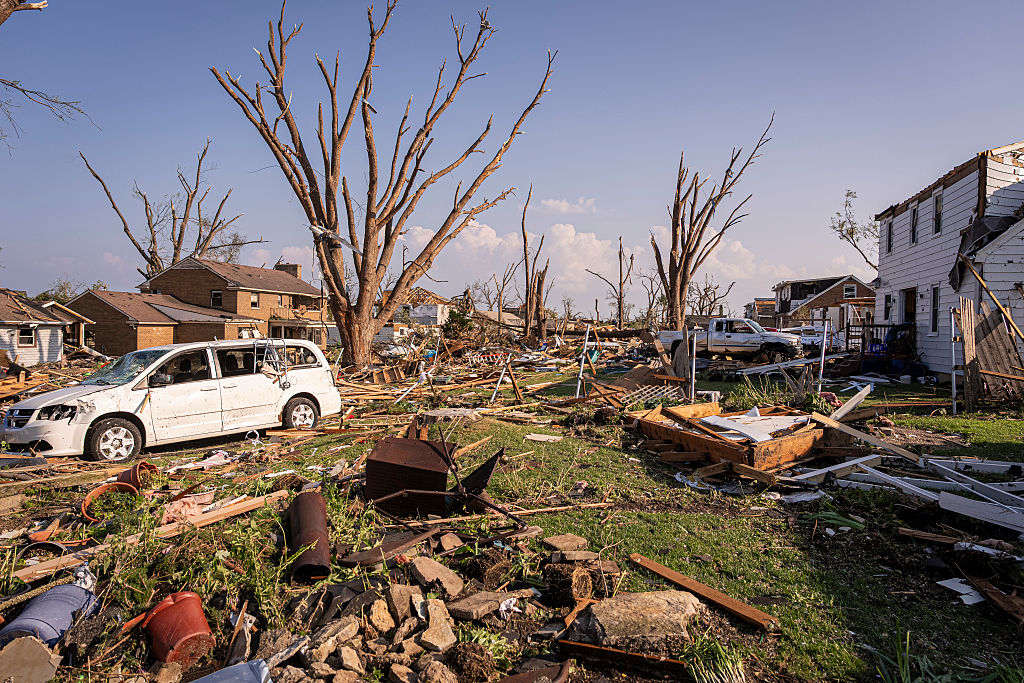
On Monday, July 27th, a severe thunderstorm hit the states of Wisconsin and Illinois in the United States, causing tornadoes, large hail, widespread power outages, and significant damage in some areas.
The U.S. National Weather Service confirmed on Monday that severe thunderstorms were moving across the Midwest and Great Lakes region, bringing tornadoes and destructive winds.
Tornadoes swept through areas such as Menasha and Appleton in Wisconsin, as well as Chicago in Illinois, causing severe destruction.
In Outagamie County, Wisconsin, more than 22,000 households were left without power. The city of Menasha experienced a city-wide blackout due to a damaged power line.
Neenah and Chilton in Wisconsin also experienced disaster-related incidents.
According to data from “PowerOutage.US,” which tracks power outages nationwide, the number of power outages in Wisconsin and Illinois exceeded 200,000 households.
Gresham, Wisconsin experienced hailstones over 4 inches in diameter, as large as grapefruits. According to the National Weather Service, this was the sixth time since 1950 that such massive hail has been recorded in the state.
As a larger storm system moved southward, parts of the Chicago metropolitan area were under tornado, severe thunderstorm, and flash flood warnings simultaneously. Weather observers reported 2-inch hail and wind gusts of up to 70 miles per hour on Monday, leading to property damage. A tornado was spotted in the southern suburbs of Chicago around 12:45 PM.
The National Weather Service estimated that in Frankfort, Illinois, a gust of wind reaching 90 miles per hour knocked down a wall at a public works facility, highlighting the destructive force of these storms.
According to forecasts from the FOX Forecast Center, on Tuesday, the threat of severe storms is expected to shift towards the mid-Atlantic and the states of South and North Carolina.
With a cold front moving through, stormy weather is predicted to continue from Pennsylvania, West Virginia to eastern Kentucky on Tuesday morning and will then move southeast, affecting Maryland, Virginia, and North Carolina.
These storms also bring increased flash flood threats to the I-95 interstate highway and the New England region.
(Source: Weather.com)