
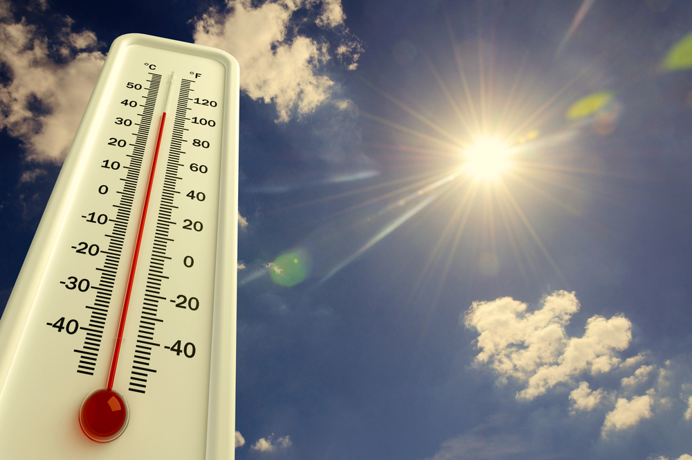
The United States National Oceanic and Atmospheric Administration (NOAA) predicted on August 12 that a heat dome system approaching historical record intensity will engulf the Southeastern United States and Florida starting this weekend, with expectations to persist into next week and potentially longer. This heatwave will put over 30 million people under “extreme” heat threat, with an additional 50 million facing “significant” heat risks.
According to the American Meteorological Society, a “heat dome” is a weather phenomenon triggered by intense high-pressure systems. The high-pressure system acts like a lid, trapping warm air underneath while blocking clouds and rain from entering. Meteorological data indicates that the strength of this high-altitude high-pressure ridge is likely to break historical records for the month, potentially setting new records for dozens of daily high and low temperature readings.
The impact of extreme heat will spread eastward from Kansas and Oklahoma starting Thursday. By this Sunday, states such as Missouri, Arkansas, Kentucky, Tennessee, southern Illinois, Alabama, Mississippi, Georgia, and Florida will be completely engulfed by the heat dome. Temperatures in areas stretching from Oklahoma and Texas to the Carolinas will approach 100 degrees Fahrenheit (approximately 37.8 degrees Celsius), with Florida falling within the mid-range of the 90-degree interval; factoring in high humidity, the heat index will reach 105 to 115 degrees Fahrenheit (about 40.5 to 46.1 degrees Celsius).
Yale Climate Connections meteorologist Jeff Masters emphasized that the inability of nighttime temperatures to drop is a key factor exacerbating overall heat stress. “If temperatures don’t drop at night, the body doesn’t have time to adapt and recover from the daytime heat, a dangerous condition during heatwaves.”
This heatwave follows the hottest July on record in the United States. Data indicates that the average temperature in the contiguous 48 states reached 76.89 degrees Fahrenheit in July, breaking the historical high-temperature record from the Dust Bowl era of 1936 by an eighth of a degree.
Masters warned that surpassing the record set in 1936 is a serious warning, as that year saw the most severe agricultural disaster and population migration in U.S. history due to high temperatures and drought.
With over 80 million people facing high temperatures, the demand for air conditioning will significantly increase electricity consumption. In states where wind or hydro power generation might be limited by weather conditions, power companies may increase the proportion of natural gas power generation, potentially providing short-term support for natural gas prices.
The U.S. meteorological department urges people in warning areas to stay hydrated, reduce unnecessary outdoor activities during the day, and closely follow guidance and information from local governments and cooling centers.