
The National Oceanic and Atmospheric Administration (NOAA) of the United States confirmed on September 10th that the La Niña phenomenon this winter is continuing to strengthen and is expected to set the strongest record since 1950.
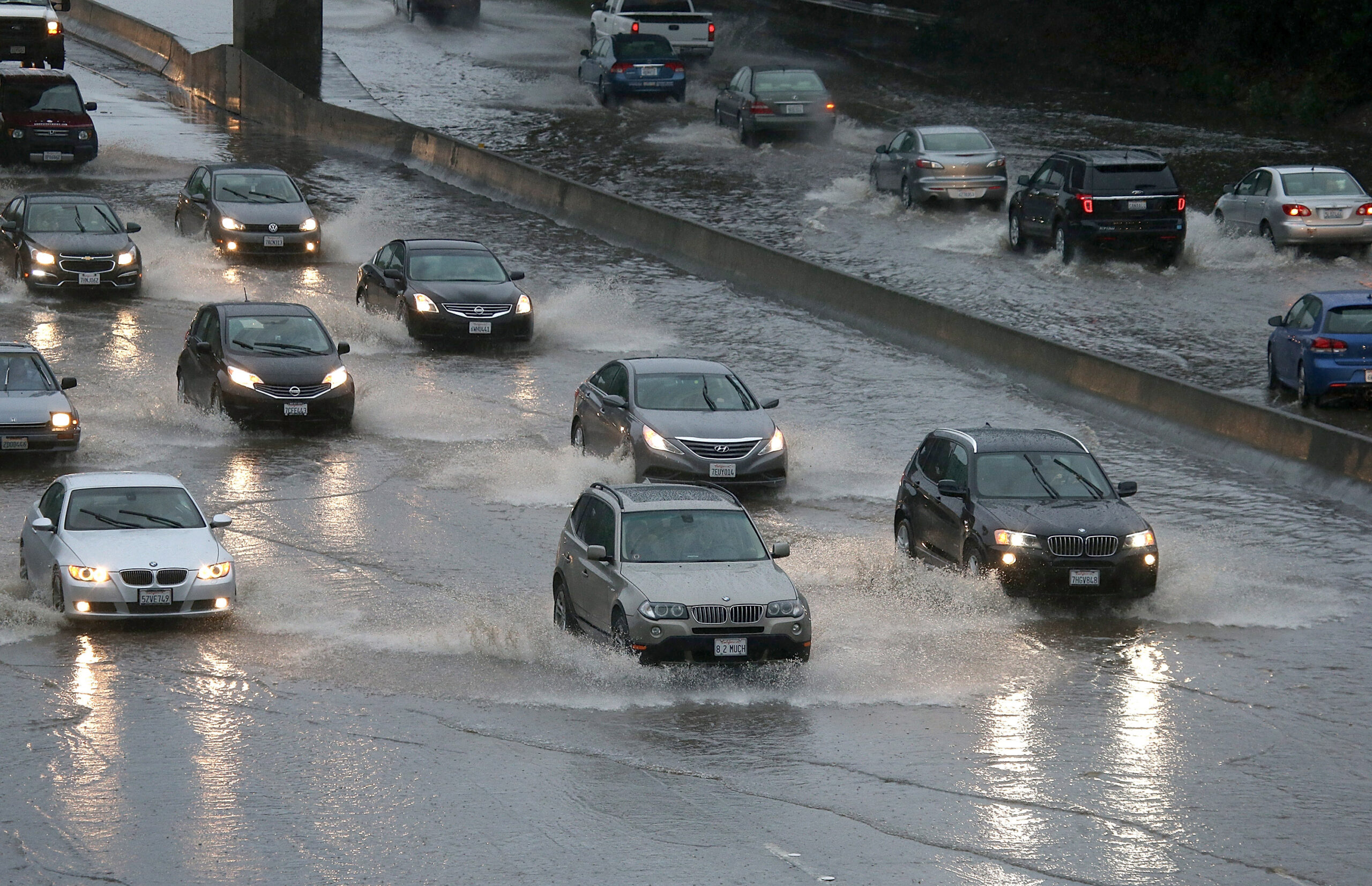
La Niña is a natural phenomenon characterized by abnormally high sea surface temperatures in the equatorial Pacific Ocean, occurring every 2 to 7 years. Climate researchers have long observed that during a strong La Niña winter, there tends to be increased rainfall in the southern United States, including California, Texas, the Gulf Coast, and the Southeast; while temperatures in the northern regions and the Great Lakes area may be warmer, but brief periods of intense cold snaps could still occur.
The two most recognized strongest La Niña events occurred in 1997-98 and 2015-16. However, the climate response is not consistent with each occurrence. In 1997, Southern California did experience heavy rains and even flooding; but in 2015, the strong La Niña led to unusually dry conditions in Southern California.
According to a report released by NOAA’s Climate Prediction Center on that day, based on models from multiple countries, the intensity of La Niña is expected to continue to increase through the end of the year, with a 75% chance of surpassing the record of the strongest La Niña event to date between October and December. NOAA’s next report is scheduled to be released on October 8th.
Against the backdrop of NOAA confirming the strengthening La Niña, the U.S. Farmers’ Almanac recently released its winter outlook for 2026-2027, predicting La Niña as the main factor influencing the climate this winter. The Farmers’ Almanac anticipates increased rainfall in the Southern states including Southern California, the Southwest desert region, Texas, the Gulf Coast, and the Southeast during the winter months. When cold air moves southward at times, freezing rain or wet snow could also occur.
The Farmers’ Almanac predicts that temperatures in the West, Northern Plains, Upper Midwest, and Great Lakes region will generally be near normal, but cold snaps and brief heavy snowfall could still happen. The Northeast coastal areas are expected to see a mix of rain and snow, with multiple heavy snowfalls possible in inland areas during January and February.
The Farmers’ Almanac relies on internal methods developed since its founding in 1818, combining astronomical cycles, solar and lunar activities, historical climate patterns, and supplementing with satellite observations, computer models, among other forecasting techniques.
The Farmers’ Almanac also released a reference map for the “First Snow” across the United States. The map indicates that states like Idaho, Montana, and Wyoming in the northern region can expect their first snowfall around late October to early November; the Great Lakes region and the Rocky Mountains will see their first snow around November, while the central plains and the central Atlantic region may see their first snow towards the end of November to early December.
NOAA’s first snow map aligns roughly with the Farmers’ Almanac predictions.