
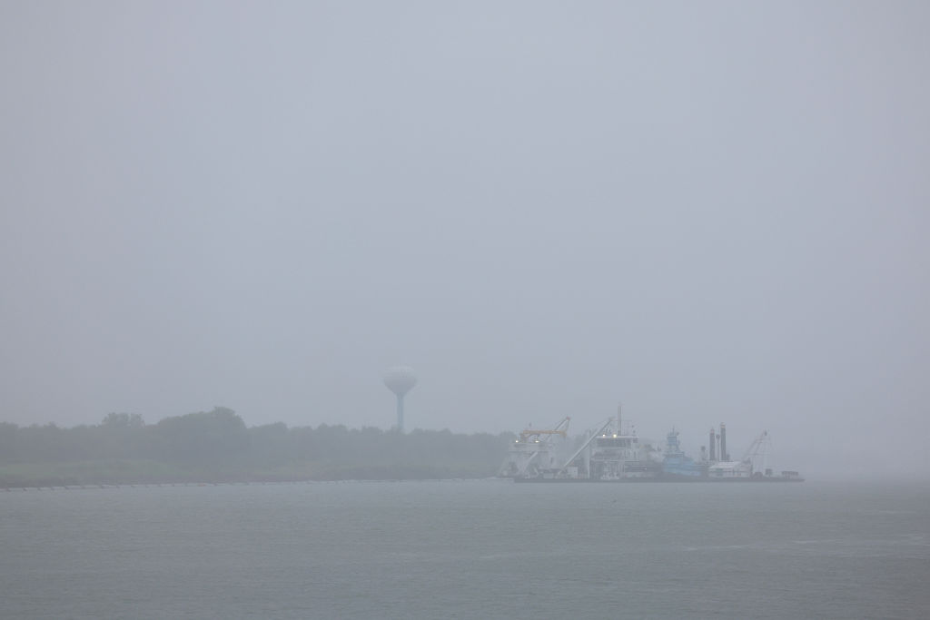
The National Hurricane Center in the United States has warned that as Tropical Storm “Edouard” advances towards the Gulf Coast of Mexico, some areas in Texas and Louisiana began to experience rainfall on Tuesday (September 1st), which could potentially lead to flooding. It is expected that the storm will significantly strengthen and may even reach hurricane intensity.
Earlier forecasts from meteorologists indicated that “Edouard” is expected to make landfall in Texas later on Tuesday and then rapidly weaken. At the same time, several storms are forming and developing in the Pacific Ocean, including “Lowell,” which strengthened into a hurricane on Tuesday morning.
On Tuesday morning, Tropical Storm “Edouard” was located about 30 miles south of Cameron, Louisiana, and approximately 50 miles southeast of Port Arthur, Texas, with maximum sustained winds of 50 miles per hour and moving northwest at 8 miles per hour.
The National Hurricane Center forecasts that “Edouard” will bring 3 to 6 inches of rainfall to coastal areas of Texas extending to central eastern Texas, with localized amounts possibly reaching up to 9 inches. Southwest Louisiana is expected to receive lesser amounts of rainfall.
The Hurricane Center warns that low-lying and urban areas are likely to experience sudden flooding.
Texas Governor Greg Abbott stated that the primary concern with the storm is the potential for flooding.
Assistant Director Orlando Alanis of the Texas Division of Emergency Management mentioned in a press conference that this is the first significant storm Texas is facing this hurricane season, but assured that “I want to tell everyone, Texas is prepared.”
Abbott explained that personnel had cleared dry vegetation on Monday, which could otherwise be ignited by lightning strikes and lead to rapid spread of fires.
The National Hurricane Center also warns that a segment of the coastline near the Texas-Louisiana border could experience storm surge of 3 to 5 feet.
(This article references reporting from the Associated Press)