
In June, the Chinese Communist Party (CCP) has been conducting frequent operations in the disputed waters off the eastern coast of Taiwan under the guise of “marine environmental surveys” using government vessels and research ships. An analysis by a US think tank suggests that these actions by the CCP may be an attempt to normalize its presence in the region.
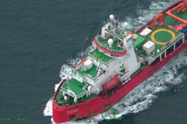
From June 16 to 18, China’s Ministry of Natural Resources dispatched the research vessel “Xiangyanghong 22” to the waters east of Taiwan for marine environmental surveys. According to the CCP’s state media Xinhua News Agency, the purpose of this operation is to collect data on marine environmental DNA, marine mammals, birds, marine chemistry, hydrology, and meteorology.
Data from ship tracking by maritime monitoring company Starboard Maritime Intelligence shows that during the survey operation, two Chinese coast guard vessels escorted the “Xiangyanghong 22.”
The American Enterprise Institute (AEI) released a “China & Taiwan Update” report on June 18, indicating that the CCP government’s frequent activities in the eastern part of Taiwan since June 1 may be an effort to normalize its presence in the area.
The AEI believes that China’s current marine survey is a latest move in response to Japanese Prime Minister Sanae Takichi and Philippine President taking steps to delineate their exclusive economic zones on May 28. CCP often uses environmental protection as an excuse to reinforce its territorial claims.
Currently, there are overlapping exclusive economic zones between Japan, the Philippines, and Taiwan in the waters east of Taiwan. While Japan and the Philippines have not explicitly stated discussing boundary issues with Taiwan or China, they have emphasized that bilateral negotiations will not affect the rights of any third party. Chinese officials have condemned Japan and the Philippines’ boundary negotiations as illegal and claim it infringes on China’s sovereignty and maritime interests, including its claims over Taiwan.
Since June 1, China has deployed at least two coast guard vessels to patrol the waters east of Taiwan. From June 6 to 10, China dispatched four government vessels – “Coast Guard 06,” “Coast Guard 08,” “Coast Guard 09,” and “Donghaijiu 113,” accompanied by Chinese coast guard ships, to carry out special maritime law enforcement operations in the waters east of Taiwan. This area is close to the Bashi Channel, the Miyako Strait, and other crucial maritime chokepoints, where China may be seeking control during any potential blockade or invasion of Taiwan.
According to Starboard’s ship tracking data, routes of Chinese naval vessels extend China’s claimed exclusive economic zone by 200 nautical miles from Taiwan and its nearby islands. Under the United Nations Convention on the Law of the Sea (UNCLOS), the maximum distance for an exclusive economic zone from a country’s territorial baseline is 200 nautical miles.
The data collected by the “Xiangyanghong 22” relating to oceanography, meteorology, and marine biology has significant applications for submarine navigation and underwater detection. For example, monitoring water temperature aids in submarine sonar analysis, studying ocean currents helps in naval navigation planning, and surveying seafloor topography provides insights for submarine stealth routes. Understanding how the ocean environment affects sound waves propagation is crucial for submarine sonar systems as submarines rely on sonar to “see” underwater.
Additionally, the AEI suggests that China’s announcement of the survey may lay the groundwork for future ecological conservation efforts, indicating that China could potentially conduct operations in the region under the pretext of environmental protection to advance its territorial and maritime claims. The CCP has a history of utilizing environmental conservation measures as tools to support its territorial assertions.
Taiwan is facing pressure not only from the eastern waters but also from the southwest in the Dongsha region, where on June 6, Chinese marine research vessels collaborated with Chinese coast guard ships, entering Taiwan’s waters. According to Taiwan’s Coast Guard Administration, the Chinese research vessel “Hai Silk Road 6” breached Taiwanese waters on June 6, escalating China’s gray zone tactics against Taiwan to create an illusion of “jurisdiction.”
On May 7 and 15, the Chinese research vessel “Tongji Hao” illegally deployed scientific instruments offshore near Eluanbi, 29 nautical miles southeast, and 33 nautical miles east of Hualien, suspected of collecting hydrographic data in the Taiwan Strait. It marked the first time both Chinese coast guard and research vessels jointly provoked in the Dongsha area.
The Coast Guard Administration of Taiwan noted that China currently possesses over 120 maritime research vessels that are frequently expanding their activities in the Indo-Pacific region. About 41 of these vessels have been active near Taiwan over the past three years, extending their operations from the first island chain to the second, reaching islands like Guam in the third island chain, and even venturing into the Indian Ocean, Atlantic Ocean, Australia, and the Arctic.
(End of Translation)