
Latest climate data in the Pacific region shows that it is accelerating towards the anticipated “Super El Niño” phenomenon. This climate pattern may have a suppressing effect on the upcoming Atlantic hurricane season, indicating that the entire winter in the southern United States will be rainy.
Currently, the water temperature in the central Pacific has begun to rise to the threshold of 0.5 degrees Celsius, which is the standard for determining the occurrence of the El Niño phenomenon. It is expected that this climate pattern will fully form at some point this summer.
The El Niño phenomenon is one of the three phases of the natural climate cycle known as the El Niño–Southern Oscillation (ENSO). This climate cycle describes the natural temperature variations of the central Pacific Ocean, which alter atmospheric circulation and can greatly influence global weather.
This climate cycle causes fluctuations in sea surface temperatures in the tropical Pacific near the equator, swinging between warmer and colder conditions. When the sea surface temperature in this region is 0.5 degrees Celsius higher than the normal average, it is considered El Niño, while lower by 0.5 degrees Celsius indicates La Niña. When the sea surface temperature is between the two, close to the average, this natural climate pattern is called a “neutral” state.
During the El Niño phenomenon, the above-average water temperatures in the central and eastern Pacific lead to the generation of strong winds that inhibit the development of tropical weather systems in the Atlantic while enhancing those in the eastern Pacific.
Furthermore, computer prediction models suggest that this summer’s El Niño phenomenon is not only likely to develop into a “Super El Niño,” defined as when water temperatures in the central Pacific reach at least 2 degrees Celsius but could also become one of the strongest El Niño events ever observed.
Although the sea surface temperature in the central Pacific is approaching 0.5 degrees Celsius, these are just real-time observation data. The most dramatic changes are occurring 100 to 200 meters below the sea surface.
According to data from the FOX Forecast Center, a huge warm water pool forming in the western Pacific is moving eastward.
Driven by westerly winds and several other physical factors, this warm water is expected to reach the El Niño activity zone at some point this summer, further elevating temperatures.
Based on current circumstances, the El Niño phenomenon is likely to persist until the end of 2026.
As El Niño strengthens, it will begin to “redirect” the Pacific jet stream. The Pacific jet stream is a conveyor belt for storms and a major contributor to rainfall in the contiguous United States.
According to long-term weather prediction models, El Niño will enhance the Pacific jet stream and shift it southward, leading to above-average rainfall in California and the southern United States throughout the latter half of the year and winter.
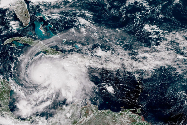
Despite the strong El Niño effect almost completely suppressing hurricane formation in the open waters of the Atlantic this year, it will bring stormy weather to the southern United States. This weather pattern may actually trigger tropical weather system activity in the northern Gulf of Mexico and along the coastal areas of the southeastern United States.
This year’s Atlantic hurricane season will run from June 1 to November 30.
Simultaneously, it is expected that this El Niño event will significantly enhance the East Pacific hurricane season. The East Pacific hurricane season is set to start this Friday, with sea surface temperatures in that area currently 2 to 3 degrees Celsius above average.
(Adapted from a report by FOX News)