
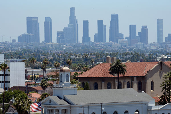
In recent discussions among American meteorologists, the highly anticipated “Super El Niño” (Super Holy Infant) climate event is drawing closer to formation. This could potentially be one of the strongest El Niño events in decades, bringing global warmth and impacting autumn and winter precipitation across various regions in the United States. California may see more rainfall and higher temperatures than usual.
El Niño phenomenon refers to the impact on global climate after the sea surface temperatures rise in the central and eastern equatorial Pacific Ocean. The “Super El Niño” has only occurred five times since 1950, with the most recent in 2015-2016. Jonathan Erdman, a senior meteorologist at the National Weather Service, noted in a recent article that while uncertainties grow as weather forecasts extend further, multiple signs indicate that the “Super El Niño” is on its way.
According to the forecast models of the National Oceanic and Atmospheric Administration (NOAA), sea surface temperatures in the central and eastern Pacific Ocean are expected to be more than 2 degrees Celsius above average from August to October this year, signaling a “strong El Niño” phenomenon.
Paul Roundy, a professor at New York’s Oswego University, pointed out that strong west winds erupted near the equator in the western Pacific in early April, pushing warm seawater eastward along the equator and causing rapid warming in the eastern Pacific Ocean. These west winds may be the strongest in 50 to 100 years.
Additionally, twin tropical cyclones are forming on both sides of the equator near Guam in the western Pacific. A tropical cyclone has already formed south of the equator, while another is approaching tropical cyclone status to the north. Meteorologist Andrew Austin-Adler noted that historically, twin tropical cyclones often correspond with Super El Niño events.
Roundy believes that given the highly reliable forecast for the next two weeks regarding the west winds, the likelihood of inaccuracies in forecasting the stronger El Niño phenomenon is very low this time.
Besides NOAA, the European Centre for Medium-Range Weather Forecasts (ECMWF) and the European Union’s Copernicus Climate Change Service (C3S) also indicate that the El Niño phenomenon may be rapidly forming.
Weather predictions for this month show that ocean temperatures exhibit anomalies of 0.5 degrees Celsius, typically associated with the early stages of the El Niño phenomenon. According to ECMWF predictions, temperature anomalies in May and June will rapidly increase to 1-1.5 degrees Celsius and reach 2-3 degrees Celsius around August.
Erdman pointed out that the stronger the El Niño phenomenon, the greater its impact on global weather. This phenomenon typically lasts for 9 to 12 months.
He is convinced that this El Niño phenomenon will lead to global warmth in the next two years. The last time a Super El Niño occurred, it broke previous global temperature records, making 2015-2016 one of the top 10 warmest years globally. It is highly likely that this year will break temperature records again, with the potential for next year to surpass this year’s record.
On social media, Roundy posted that the “strongest El Niño event in 140 years” is highly likely to happen. He believes that most strong El Niño phenomena will result in a quieter than average Atlantic hurricane season, while there will be heightened tropical storm activity in the eastern Pacific and central Pacific regions.
During a strong El Niño event, the southern branch of the Pacific jet stream and the subtropical jet stream are expected to strengthen. This will lead to a wetter winter in certain areas of California, the southwestern desert region, extending to southern and southeastern states like Florida. Meanwhile, most northern regions of the United States can expect a milder and drier winter.