
According to ship tracking data, the Chinese Communist Party (CCP) is deploying an unprecedented deep-sea mapping operation in strategic locations such as the Pacific Ocean, Indian Ocean, and the Arctic with the help of dozens of research vessels. Defense and security experts in Taiwan point out that this action goes beyond scientific research and is part of the CCP’s strategic deployment to build underwater combat superiority in response to potential US-China military conflicts.
Recent reports from Reuters have highlighted China’s ongoing underwater mapping activities in a piece titled “China Conducting Underwater Surveys in Preparation for US-China Submarine Warfare.” Data from the ship tracking platform Starboard Maritime Intelligence shows that the CCP is currently utilizing over 40 research vessels and nearly a hundred “shadow fleets” disguised as fishing research and mineral exploration ships to conduct intensive mapping in key strategic waterways like Guam, Hawaii, east of the Philippines, and the Malacca Strait.
In addition to the Western Pacific, Chinese research vessels have also been spotted near the “Ninety Degree Ridge” in the Indian Ocean near Sumatra, an important energy transportation route. Furthermore, China has accelerated its mapping efforts in the Arctic region.
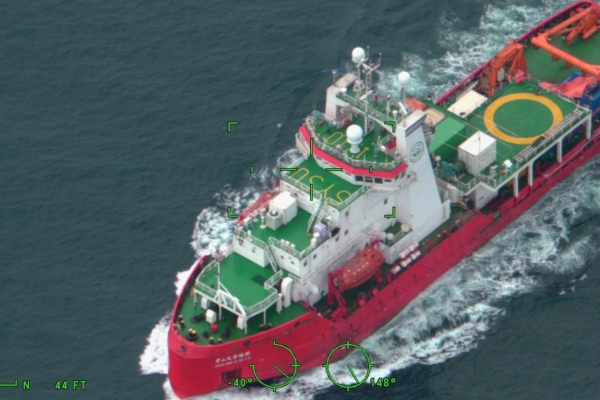
The report mentions the track record of the research vessel “Dongfang Hong 3” operated by the Ocean University of China. Between 2024 and 2025, the vessel frequented the waters around the US Guam base and Japan, maintaining and servicing an advanced sensor system capable of identifying underwater targets. Additionally, the vessel conducted seabed and sediment surveys near the entrance to the Malacca Strait.
The report suggests that China’s actions with its research vessels are related to the “Transparent Ocean” plan proposed in 2014. The CCP aims to incorporate the deep-sea space into its monitoring and analysis system by deploying more sensors, buoys, and underwater arrays to enhance its real-time monitoring capabilities.
Xie Peixue, Deputy Researcher at Taiwan’s Institute for National Defense and Security Studies, stated to Epoch Times that China’s “Transparent Ocean” plan uses civilian cover to advance military intelligence collection.
Zhong Zhi Dong, a researcher at the Taiwan Institute for National Defense and Security Studies, expressed in an interview with Epoch Times that China’s extensive mapping near US military bases and key global waterways is aimed at strengthening its control over the underwater combat environment in preparation for US-China warfare.
He specifically mentioned that China’s research vessels conducting intensive mapping around the eastern Philippines are aimed at pushing its submarine fleet into a broader operational space, breaking through the blockade of the first island chain constructed by the US military and its allies. This move aims to enhance conditions and capabilities for launching underwater attacks against US forces, similar to Japan’s past submarine actions in Pearl Harbor.
Xie Peixue emphasized that the mapping activities are not just about drawing charts but deploying deep-sea sensor arrays in sensitive positions. These sensors can precisely capture data on the deep-sea environment, filter out noise, and more accurately pinpoint the sonar characteristics of US nuclear submarines.
Several military experts also told Reuters that China is using relevant data to deploy deep-sea sensor arrays at critical locations, such as the exit points of the first island chain. Officials from the US Navy’s Intelligence Division confirmed in a congressional hearing that China’s monitoring network can now track real-time hydrodynamic changes in key waterways.
Jennifer Parker, a former Australian Navy anti-submarine officer and Associate Professor at the University of Western Australia, believes that based on the operational range, China may be focusing on developing long-range submarine-centric operational capabilities.
Two Taiwan scholars predicted that the continued deep-sea mapping operations by China will have cascading effects on multiple levels. Zhong Zhi Dong believes that China’s actions will inevitably escalate regional tensions and prompt related countries to further adjust their strategic assessments of China.
Xie Peixue anticipates that countries like the Philippines, Japan, and Taiwan will more frequently invoke the United Nations Convention on the Law of the Sea to challenge China’s so-called research presence in their exclusive economic zones. Simultaneously, the US and its allies will expedite the development of counter-surveillance technologies, including deploying a large number of underwater unmanned vehicles to interfere with the operation of China’s deep-sea sensor arrays.
He pointed out that as concerns over submarine cable security continue to rise, the US may push for the establishment of a submarine fiber optic network that completely excludes Chinese technology and vessels, creating a submarine version of the “Clean Network” in the 5G field, causing structural fractures in the physical connections of the digital world.
Additionally, both scholars classified China’s deep-sea mapping operations as the latest battlefield in the comprehensive strategic competition between the US and China.
Zhong Zhi Dong concluded that the competition “from space, to the surface, and extending to the seabed” is a “comprehensive competition.” Xie Peixue assessed that the future strategic focus will shift from traditional carrier battle group confrontations to AI-driven deep-sea identification and submarine tracking.