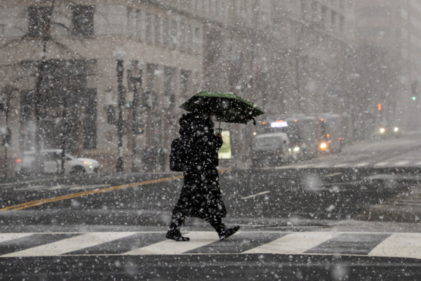
A powerful Arctic cold front is currently sweeping through most of the central, eastern, and southern regions of the United States, causing temperatures to plummet well below average levels, with the affected areas extending as far south as Florida.
According to forecasts from the National Weather Service of the United States, after experiencing unusually warm and dry weather earlier this week, a series of cold fronts merged in the Ohio Valley on Wednesday afternoon, eventually bringing back colder weather to areas east of the Mississippi River.
In an online forecast released on Wednesday, the National Weather Service stated, “Although this cold front is not expected to set any records, much of the eastern United States will feel significantly colder on Thursday as daytime highs drop by 10 to 20 degrees Fahrenheit due to the influence of an Arctic high-pressure system.”
AccuWeather, a private media company providing commercial weather forecasting services, predicts that a new Arctic air mass is expected to dominate the central and eastern United States at the end of January, bringing significant temperature drops and multiple rounds of snowfall.
Meteorologists at AccuWeather have indicated that an active polar vortex may bring the coldest weather of this winter as we enter early February.
The National Weather Service notes that aside from the temperature drop, strong northwesterly winds behind the cold front will produce intense “lake effect” snow bands in the northern Great Lakes region.
The agency pointed out, “The most severe lake effect is expected to occur along the southeast coast of Lake Michigan, where 8 to 12 inches (20 to 30 cm) of snow could fall on Thursday, January 15.”
Meanwhile, in the Ohio Valley and northeast regions, Wednesday saw winter weather transitioning from rain to snow, with moderate to heavy snow continuing on Thursday.
AccuWeather Senior Meteorologist Brett Anderson highlighted that due to a powerful cold front sweeping through the southeastern United States on Wednesday and Thursday, temperatures in that region have significantly dropped.
Cities such as Nashville and Atlanta are expected to see daytime highs on Thursday remaining in the low 30s Fahrenheit (about 0 degrees Celsius).
Frost advisories have been issued for much of northern and central Florida for Thursday night into Friday.
AccuWeather suggests that the cold weather may persist into early next week.
(Information reference from USA Today)

