
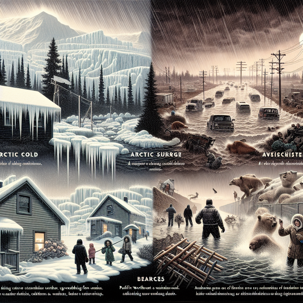
A surge of Arctic cold air is currently spreading southward from Canada into parts of the northern United States. Meanwhile, residents in the Pacific Northwest are bracing themselves following days of relentless rainstorms, which have triggered mudslides and breaches in levees.
Washington Governor Bob Ferguson confirmed that President Trump has approved the emergency declaration requested by the state of Washington to address the record-breaking flood crisis.
After enduring several days of disaster, Washington state has begun to see a slow recession of the record floodwaters. However, the governor cautioned that the danger is far from over.
Ferguson stated in a press conference, “This is not just a one- or two-day crisis. The water levels have reached historic highs and will remain very high for quite some time.” He also confirmed that there have been no reports of fatalities so far.
The catastrophic flooding was triggered by an unusually powerful atmospheric river that dumped over 1 foot (30 cm) of rainfall in parts of western Washington state, leading to swollen rivers and saturated ground.
The devastating floods have forced thousands to evacuate and caused neighborhoods to be submerged. With mudslides and debris closing highways and swift currents washing out roads and bridges, dozens of water rescues have been carried out by authorities.
Eddie and Mary Wicks, who live on a farm near the Snoqualmie River in Washington state, saw their home engulfed by floodwaters on Thursday, December 11. They told the Associated Press that the speed at which the water rose was unlike anything they had ever experienced. Eventually, the King County Sheriff’s Office Marine Rescue Dive Team carried them by boat through what had turned into a vast expanse of waterlogged fields.
As the Pacific Northwest begins to recover from the floods, another weather system has brought dangerous wind chills to the upper Midwest. The combination of low temperatures and wind speeds has resulted in dangerously low wind chill values.
The National Weather Service reported that around noon on Saturday, December 13, temperatures in Grand Forks, North Dakota, dropped to minus 12 degrees Fahrenheit (minus 24 degrees Celsius), with wind chills making it feel like minus 33 degrees Fahrenheit (minus 36 degrees Celsius).
For major cities like Minneapolis and Chicago, the coldest temperatures are expected to occur late Saturday night into early Sunday morning. The forecast predicts Minneapolis to reach around minus 15 degrees Fahrenheit (minus 26 degrees Celsius) in the early hours of Sunday, December 14. In the Chicago area, the lowest temperatures are expected to hover around 1 degree Fahrenheit (minus 17 degrees Celsius) early Sunday.
The Arctic cold front is set to continue its southward and eastward progression over the weekend, with temperatures dropping in the southern states of the U.S. on Sunday.
The National Weather Service issued a cold weather warning stretching as far south as Montgomery, Alabama, with temperatures expected to plummet to around 22 degrees Fahrenheit (minus 6 degrees Celsius) late Sunday night into Monday morning. In Savannah, Georgia, the lowest temperatures are forecasted to dip to around 24 degrees Fahrenheit (minus 4 degrees Celsius) around the same time.
While much of the U.S. braces for cold weather conditions, the residents of the Pacific Northwest continue to endure hardship after several days of flooding.
The record-breaking flood crest is expected to slowly recede on Saturday, but authorities warn that water levels will remain elevated for days, with the risk of levee breaches or mudslides still looming.
Furthermore, more rainfall is forecasted for Sunday. With mudslides and debris causing road closures and surging waters washing away roads and bridges, officials have conducted dozens of water rescues.