
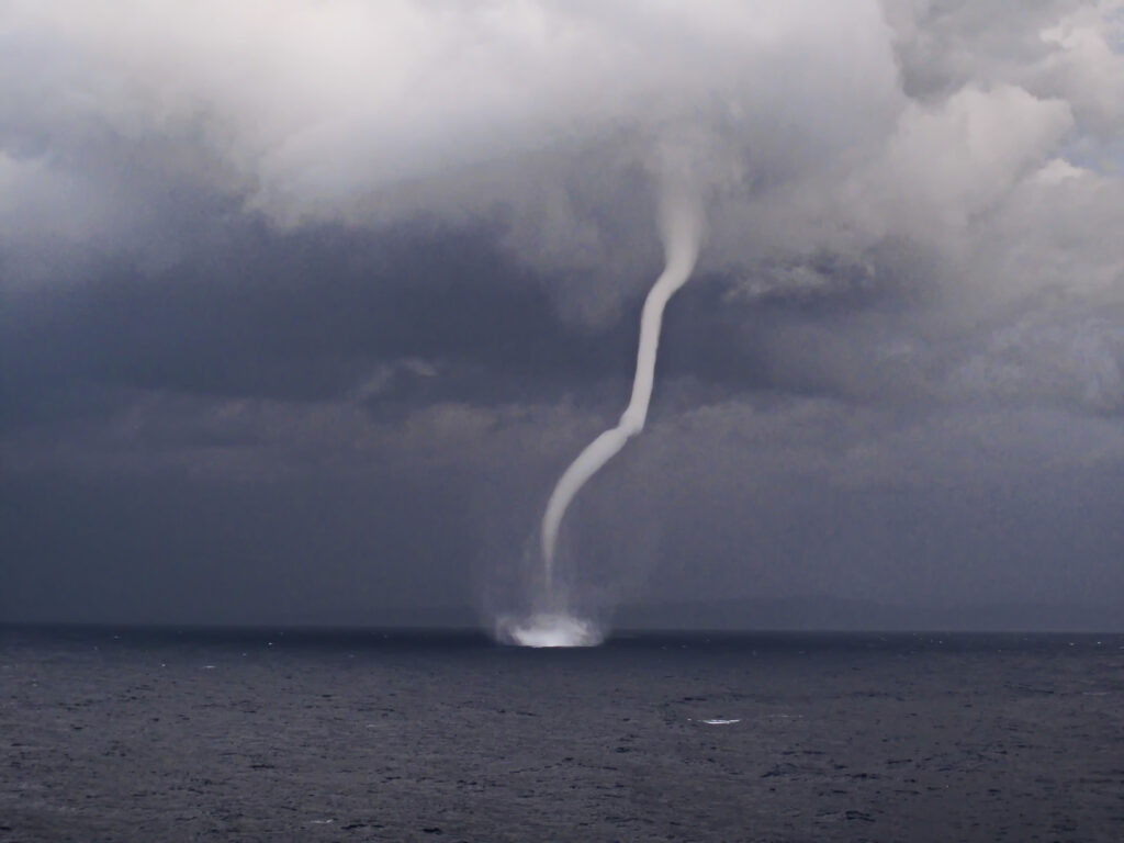
On Monday, November 16, a significant storm swept through the San Francisco Bay area of California, resulting in the remarkable sight of two towering waterspouts forming above the bay near Brisbane. These natural phenomena lasted for several minutes, creating a striking display against the backdrop of the gloomy sky.
Colin McCarthy, the founder of U.S. Stormwatch, shared videos of these waterspouts on the social media platform X. The footage showcased two distinct columns of water rising from the bay, extending upward toward the low-hanging gray clouds. The visual was captivating, highlighting the dramatic interplay between nature’s forces.
According to the National Weather Service (NWS), waterspouts are phenomena that bear similarities to tornadoes, but they occur over bodies of water. They are essentially vortexes that develop from the surface of water into the atmosphere, creating a swirling column of water and air.
Waterspouts are primarily classified into two categories: fair-weather waterspouts and tornadic waterspouts. As clarified by the NWS, tornadic waterspouts are essentially tornadoes that form over the water or are tornadoes that move from land to water. This distinction helps meteorologists categorize storm systems and formulate appropriate warnings.
Roger Gass, a meteorologist with the National Weather Service, confirmed the sightings of the waterspouts to SFGATE. Reports indicated that these waterspouts emerged over the bay near Candlestick Point State Recreation Area, located to the east of Brisbane and north of San Francisco International Airport.
Gass noted that these types of waterspouts are often difficult for meteorological radar to detect. During this event, the weather service was issuing a special marine warning for the areas south of the Bay Bridge, reflecting the heightened atmospheric instability in the region.
He elaborated on the conditions that contributed to the formation of these waterspouts, stating, “The atmospheric conditions are favorable for the development of vortices, and what we are witnessing is indeed a manifestation of this process.”
According to the National Oceanic and Atmospheric Administration (NOAA), if a waterspout travels over land and maintains its rotational structure, it is typically classified as a tornadic waterspout, at which point tornado warnings are issued. This classification carries significant implications for public safety, as tornadoes can pose a severe threat to life and property.
Although the waterspouts observed on Monday afternoon were not deemed particularly “rare” and did not make contact with the ground, Gass emphasized the importance of remaining vigilant. “If a waterspout moves onto land and continues spinning, it will evolve into a tornado,” he cautioned. He advised residents to seek shelter in an interior area of their homes, away from windows, and to ensure that as many walls as possible separate them from the outside.
At the same time that this remarkable meteorological event occurred in the San Francisco Bay, a tornado warning was issued for a rural area in Santa Cruz County, California. Such warnings are uncommon, and the alert remained in effect until 1:30 PM local time, underscoring the prevailing storm activity in the region.
The dramatic occurrence of these waterspouts and the simultaneous tornado warning serve as a reminder of the power and unpredictability of nature, and the need for constant awareness of changing weather patterns. As storms continue to affect various regions, the importance of public safety measures becomes increasingly clear.