
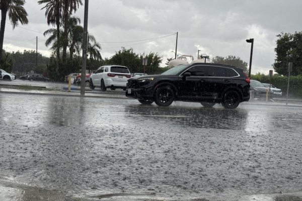
Southern California has recently experienced a stretch of unusually warm and dry weather, but a series of cold air systems are forecasted to bring rainfall, with the earliest showers potentially beginning Thursday evening.
According to reports from the National Weather Service office in Los Angeles, a series of weather disturbances are expected to persist from Thursday night through the middle of next week. These disturbances will introduce sporadic light to moderate rain in the region. Residents are advised to adjust their travel plans as conditions may change during this period.
The first round of rain is anticipated to bring brief heavy showers to the area, particularly Friday evening. However, meteorologists caution that, by Saturday morning, most areas are expected to see rainfall accumulations of no more than one inch.
In Orange County, the weather service predicts that rain from Friday to Saturday will primarily consist of light showers. Forecast data indicates that the probability of rainfall exceeding half an inch in the coastal basin areas from Friday morning through Sunday morning is estimated to be between 15% and 35%.
As for the initial wave of rain, meteorologists believe it will gradually diminish from west to east by Saturday morning, with some parts of Los Angeles County possibly experiencing a cessation of rainfall before noon. A second, more rapid-moving cold air system, which is also expected to bring cooler temperatures, may result in additional rain on Monday.
This secondary system could produce brief, intense rainfall. However, forecasters indicate that most areas will likely see less than half an inch of additional precipitation, with the duration of rain expected to be under six hours.
A third storm system may approach Southern California on Wednesday or Thursday of next week, but the timing and intensity of its arrival remain uncertain at this point.
The National Weather Service has issued a warning that local beaches are expected to experience rising wave heights, with the potential for “destructive surf” over the weekend. Beachgoers are advised to exercise caution, as strong rip currents and localized surf can create dangerous conditions along the shore.
Following a day of warm and clear weather on Wednesday, conditions are anticipated to cool beginning Thursday as high pressure wanes and oceanic flows strengthen. Coastal and valley areas of Los Angeles County are forecasted to see temperatures drop by about 10 degrees Fahrenheit, while Orange County may experience a decrease of up to 5 degrees Fahrenheit.