
Taiwan’s Central Weather Bureau announced that Typhoon Santul has weakened into a tropical depression early this morning (October 4). Meteorological experts in Taiwan analyze the reasons for the disappearance of Typhoon Santul after it made landfall.
The Central Weather Bureau has lifted both sea and land typhoon warnings for Typhoon Santul early this morning. According to statistics from the Central Emergency Operations Center, the typhoon has resulted in 2 deaths, 1 missing person, and 667 injuries.
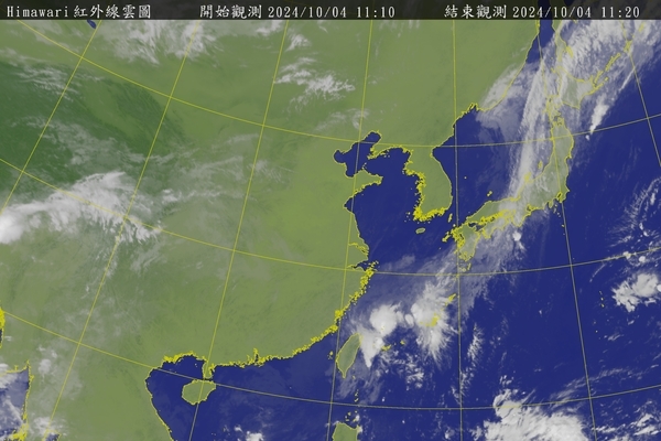
Weather Risk Company’s meteorology department manager, Wu Shengyu, posted on Facebook, stating that based on radar data from Lin Yuan District in Kaohsiung City on the 3rd, the intact eye wall structure of Typhoon Santul remained on land for approximately 6 hours after landfall. This is mainly due to the plains along Kaohsiung City and Pingtung County coastlines, where the friction on land was not strong enough to rapidly dissipate the typhoon’s center.
Wu Shengyu pointed out that ultimately, Typhoon Santul weakened due to the terrain of southern Taiwan’s mountainous region. As forecasted earlier, it rapidly weakened in the later stages, and by 9 p.m. on the 3rd, which was 8 hours after landfall, the complete typhoon structure was no longer visible.
Moreover, Wu Shengyu noted that as Typhoon Santul significantly weakened, its central circulation was unable to pass over the central mountain range of Taiwan. Consequently, it lingered at the boundary between the southern plains and mountainous areas until it was downgraded to a tropical depression.
“The unexpected aspect during this typhoon period was the heavy rainfall in the northeast. Although the analysis indicates that the most significant convective effect was in the offshore waters of the northeast, the northeasterly wind blowing towards the land, combined with the topographic effect and the moisture from the typhoon’s periphery, resulted in notably heavy rainfall in the areas around Keelung’s north coast and the northeast corner,” Wu Shengyu said.
Looking at the accumulated rainfall map, areas with significant rainfall tended to be along the coastal regions. Therefore, the severely affected areas were Keelung, Ruifang, and Yilan, particularly in the areas near the mountains on the southern side of the plains. The upstream rainfall in the Keelung River was slightly lower, alleviating pressure on the Yuanzai diversion project.
He added that although the typhoon has dissipated today, the northeasterly winds are still present, and the remnants of the typhoon’s moisture persist. Hence, areas from Keelung’s north coast to the northeast corner should remain vigilant for higher rainfall during the daytime. Elsewhere, there will be cloudy conditions with occasional brief showers, indicating that the weather has not yet stabilized, and a further reduction in rainfall is expected during the evening.
Regarding the weekend weather (5-6th), he analyzed that the overall environmental wind field will shift to easterly winds brought by a continental high-pressure system moving eastward. There may be localized brief showers in the eastern half and in the Hengchun Peninsula, while the western mountainous regions will experience local afternoon convective rainfall opportunities. Overall, the rainfall is expected to be minimal, but it is still advisable to temporarily avoid mountainous and hazardous areas.
Wu Shengyu mentioned that the next wave of strengthened northeasterly winds is forecasted to arrive on the evening of the 7th. Following this, it is likely to continue affecting the period before and after National Day. In the short term, the waters in the southern regions will be relatively calm, indicating there may be no more typhoons appearing temporarily, marking the end of the peak season for consecutive typhoon formations. The weather pattern will transition to the autumn (October-November) northeast monsoon season.