
Taiwanese meteorologists have indicated that, according to simulations from the European model, there will be a tropical disturbance brewing in the eastern Philippines next week. There are forecasts for two developing tropical storms in the north of Guam and to the south of the Ryukyu Islands, but they are expected to move northeast.
Associate Professor Wu Derong from the Department of Atmospheric Sciences at National Central University in Taiwan shared in the “Weather Machine Classroom” column of the Meteorological Application Promotion Foundation that the latest simulation from the European model (ECMWF) as of 8:00 p.m. on the 27th shows that the weather will be sunny with occasional clouds in Taiwan from today until the 30th, with hot temperatures.
Professor Wu mentioned that there will be localized brief showers or thunderstorms in the mountains in the afternoon today, with some nearby flat areas possibly affected. There is a probability of localized heavy thunderstorms (accompanied by lightning, strong winds, sudden heavy rain, etc.), so it is advisable to pay attention to real-time information released by the Meteorological Bureau. The temperatures across Taiwan today range from 21 to 36 degrees Celsius in the north, 20 to 35 degrees Celsius in the central region, 21 to 36 degrees Celsius in the south, and 21 to 36 degrees Celsius in the east.
Regarding the latest model simulations, from July 1st to the 7th, there will be slightly reduced moisture in the air, with clear skies in various regions and occasional localized brief showers or thunderstorms in the mountains in the afternoon. The weather will be “as hot as midsummer,” with strong UV rays, so it is important to pay attention to sun protection and prevent heatstroke. There is a chance of record high temperatures on the 1st and 2nd of July.
Professor Wu added, “According to the latest European model simulations, there is a ‘tropical disturbance’ brewing in the eastern seas of the Philippines next week, with the formation of ‘tropical storms’ expected in the north of Guam and to the south of the Ryukyu Islands starting in the latter half of the week, but they will move northeast.”
He further stated that the latest European ensemble model indicates a probability of a “tropical storm” located somewhere between the southeast seas of Japan, extending westward to the vicinity of Taiwan on the 7th, with the highest probability distributed to the east of the Ryukyu Islands and the southeast seas of Japan at only 30%. This shows a significant difference in the simulated locations and a low probability of affecting Taiwan. The latest American ensemble model (GEFS) also presents divergent simulated paths resembling a scattering of flower petals. As models from various countries continue to adjust, patience in observation is advised.
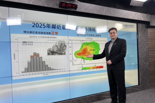
The Taiwan Central Weather Bureau held a press conference on the 27th for the “Typhoon Season Outlook.” Chen Yiliang, the director of the Weather Forecast Center, mentioned that up to now, there have been only 2 typhoons generated in the northwest Pacific Ocean this year, with an estimated average of 3 to 5 typhoons expected to approach Taiwan this year.