
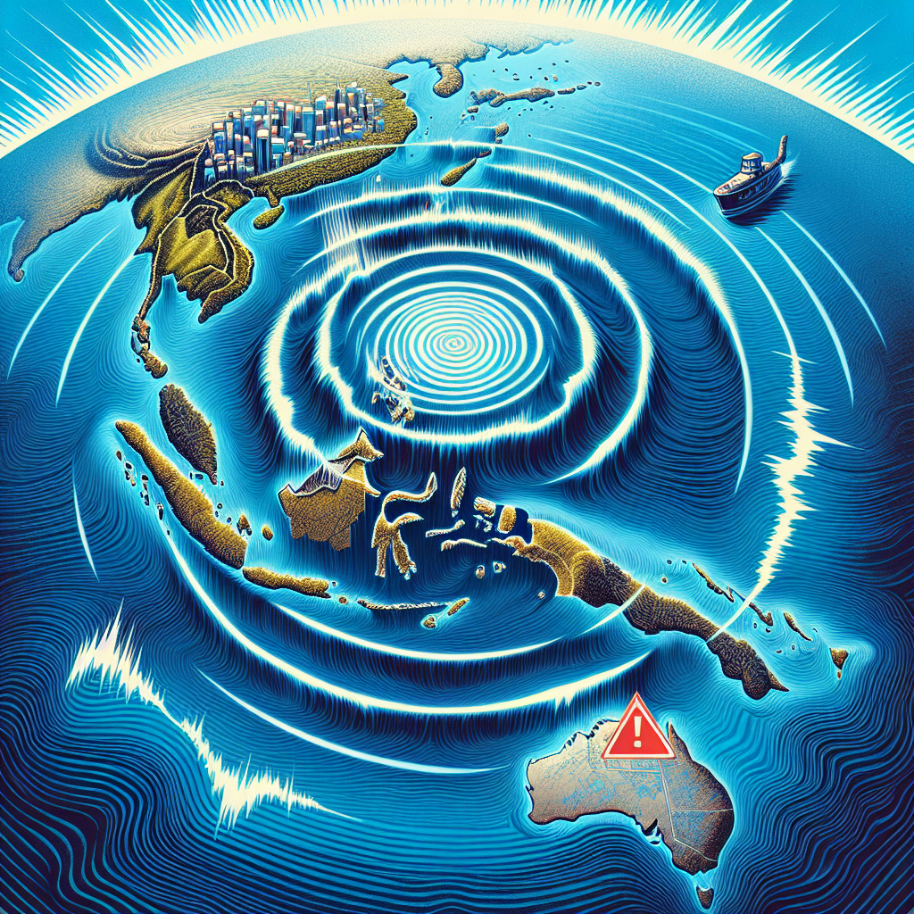
Papua New Guinea, an island country in the South Pacific, experienced a strong 6.9-magnitude earthquake in the eastern sea area on Saturday, April 5th. The United States Tsunami Warning Center briefly issued a tsunami warning. Currently, there have been no reports of casualties or property damage.
According to the United States Geological Survey, the earthquake occurred at 6:04 am local time on Saturday (4:04 am Beijing time). The epicenter was located approximately 194 kilometers southeast of Kimbe, the capital of West New Britain Province, at a depth of 10 kilometers.
Initially, the United States Geological Survey determined the earthquake to be a magnitude of 7.2 but later revised it to 6.9. The agency subsequently detected multiple 5-magnitude aftershocks in the same area.
However, the European Mediterranean Seismological Centre (EMSC) earlier reported a strong 7.1 magnitude earthquake off the coast of New Britain region in Papua New Guinea, with a depth of 49 kilometers. The EMSC later revised the magnitude to 6.9.
Following the earthquake, the U.S. Tsunami Warning Center issued a tsunami warning, predicting waves of 1 to 3 meters high along the coastal areas of Papua New Guinea. However, the warning was later lifted.
As of now, there have been no reports of casualties or damages in the affected areas. Authorities are advising coastal residents to remain vigilant and follow the latest official updates.
Staff at a resort in Kimbe reported feeling the tremors but stated that there was no significant damage and no evacuation was conducted.
Papua New Guinea is located at the junction of continental plates and falls within the Pacific Ring of Fire, making it prone to frequent earthquakes.