
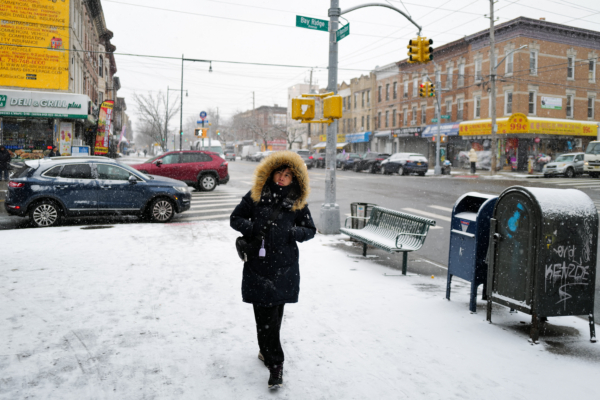
This weekend, New York City and the surrounding areas are expected to see the largest snowfall of the winter so far, followed by a blast of extreme cold weather. According to the National Weather Service (NWS) forecast, from Sunday afternoon to early Monday, New York City and its surrounding areas are expected to receive 2 to 5 inches of snow, with localized areas possibly getting up to 6 inches.
Before the snowfall arrives, rain is expected on Saturday with temperatures forecasted to be around 45 degrees Fahrenheit (approximately 7 degrees Celsius) with strong winds. By Sunday, temperatures will drop to just above 30 degrees Fahrenheit (around 0 to 2 degrees Celsius), and in the afternoon, there could be a mix of rain and snow or just snow.
AccuWeather predicts that the snowfall may start around 1 pm on Sunday and continue into the evening. Late Sunday night, temperatures will rapidly drop, potentially causing roads and sidewalks to become extremely slippery, so residents are advised to stay safe.
Following the snowfall, a polar vortex carrying a cold wave is set to arrive in the New York area on Monday. During the day on Monday, the highest temperature in Manhattan will be only 27 degrees Fahrenheit (around -3 degrees Celsius), and the wind chill effect at night will make the real feel temperature close to 0 degrees Fahrenheit (about -18 degrees Celsius).
The cold wave will continue to affect the New York area, with daytime temperatures hovering in the low teens Fahrenheit (around -12 to -9 degrees Celsius) on Tuesday and Wednesday, accompanied by strong winds, making it feel extremely cold. According to the National Weather Service, this cold air mass from the Arctic will be the coldest weather experienced so far this winter.
However, the impact of the cold wave is expected to be temporary, with temperatures gradually rising after Thursday (23rd).
The polar vortex is a low-pressure cold air system located in the Arctic, which often expands to more southern regions during winter. If disrupted by other climate systems, parts of the polar vortex may move southward, leading to cold wave weather conditions like the one anticipated this time.