
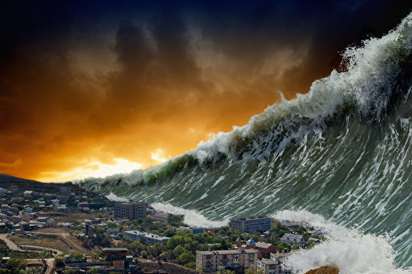
In September 2023, two mysterious mega-tsunamis hit the Dickson Fjord in eastern Greenland, causing the earth to shake continuously for nine days. The global seismographs detected unusual signals during this time.
The astonishing waves carried about 25 million cubic meters of rocks and ice into the Dickson Fjord in East Greenland, oscillating back and forth for nine days, spreading seismic waves throughout the crust. One of the waves reached as high as 650 feet (200 meters), approximately half the height of the Empire State Building. Seismic monitoring stations around the world picked up on this abnormal signal.
Initially, scientists were puzzled by the persistent seismic signals as they did not match typical earthquake or volcanic activity. Through satellite data and ground observations, researchers identified the source of these signals. They found out that glacier melting triggered rock avalanches in the fjord, leading to a phenomenon known as “seiche,” similar to the movement of water in a bowl. However, direct evidence of these seiches had not been previously found until a new generation satellite tracking ocean water provided conclusive proof.
The findings of this study were published on Tuesday, June 3, in the journal “Nature Communications.”
According to the report from “Live Science” magazine, Thomas Monahan, a graduate student in engineering at the University of Oxford and the first author of the paper, stated that this was an “unprecedented extreme event for humanity.” He further mentioned that “the most drastic changes often occur in remote areas like the Arctic, which are difficult for traditional sensors to cover comprehensively. This study shows that through the use of new-generation earth observation satellite technology, we can effectively study these phenomena.”
As Greenland glaciers continue to melt rapidly, researchers are urging for enhanced monitoring in these regions to prevent potential disasters like landslides and tsunamis in the future.
Traditionally, scientists use satellite altimetry technology to track tsunami waves, which involves sending radar pulses from space to measure the distance to the sea surface and estimate wave height based on the return signal time.