
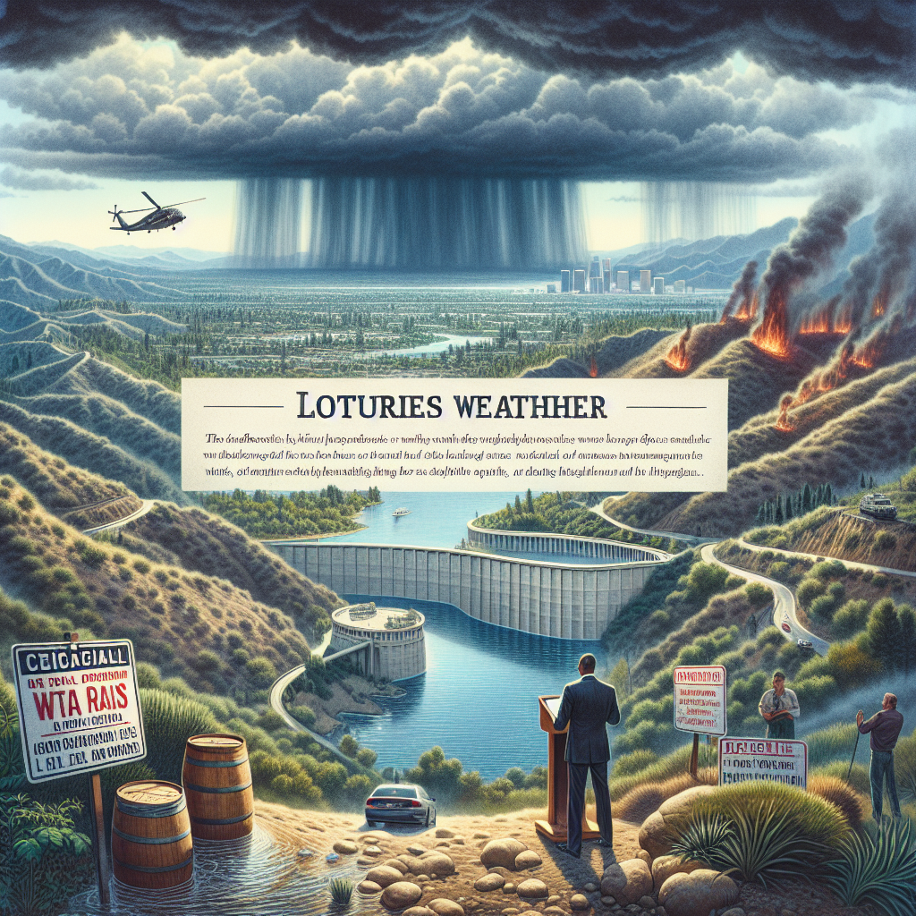
After two days of heavy rain, the crisis of the Los Angeles wildfires has been alleviated, but it has also raised concerns about the future rainfall and reservoir levels in the Los Angeles area in the coming months: will the dry weather continue? Is the reservoir supply sufficient? Following President Trump’s announcement to open the aqueduct carrying water from the northern reservoirs southward, California officials and water experts have expressed differing opinions on these issues.
Governor Newsom’s press release quoted California water experts as saying that people do not need to worry about the state’s water supply in the near future. Deven Upadhyay, General Manager of the Metropolitan Water District of Southern California, stated that the water storage in Southern California is sufficient to meet water demand for about three years. Marty Adams, former General Manager and Chief Engineer of the Los Angeles Department of Water and Power (DWP), also indicated that the local water storage far exceeds the needs for firefighting.
Although there have been some precipitation at the end of January, meteorologists believe that for Southern California, which has been drought-stricken for seven to eight months, this amount of rainfall is far from sufficient. Traditionally, from December to February is the period with the most concentrated rainfall in California, but influenced by the La Niña climate pattern, this winter’s precipitation in California has shown a “more in the north, less in the south” trend.
In the current water year (from October 1 to September 30 of the following year), Northern California has experienced several heavy rains, while Southern California has had relatively little precipitation during the same period. Data from the National Weather Service shows that from early May of last year to the end of last year, the Los Angeles metropolitan area received only 0.16 inches of rainfall, making it the second driest period on record.
The climate in Southern California last year and this year has been influenced by the El Niño / La Niña Southern Oscillation (ENSO) climate pattern in the tropical Pacific Ocean atmosphere. The ENSO’s cyclical pattern of changes involves three phases: El Niño, La Niña, and Neutral, rotating every three to seven years (average of every five years), affecting weather patterns around the world.
According to the Climate Prediction Center (CPC) of the National Weather Service, for the next quarter (February to April), California’s climate is expected to continue with a pattern similar to the previous months, with wetter weather in the north and drier in the south, with the probability of precipitation in the Los Angeles metropolitan area being close to or below normal levels. Meteorologists predict that the impact of La Niña on Southern California will persist into the spring (59% probability); by May, it may transition to the final neutral phase of the ENSO climate pattern (60% probability).
The National Weather Service believes that up to the end of April this year, Southern California will rely on subtropical moisture and the subtropical jet stream to bring moisture to the region; however, conditions for the formation of a stronger subtropical jet are still lacking. Looking ahead to this period, the drought conditions in the Los Angeles area are expected to persist.
Compared to previous years, Southern California remains exceptionally dry in this water year, as meteorologist Michael Anderson informed Newsweek that the lack of precipitation in January has had a significant impact on the water year, requiring several heavy rains to make up for it. So far, San Diego has experienced the driest start to a water year in history, with Los Angeles receiving 6 inches less rainfall than the yearly average, making the area highly susceptible to wildfires due to the prolonged dry conditions.
Southern California has over a dozen large and medium-sized reservoirs, with most of them currently having water levels above the average for the same period in previous years. As of the 29th, the largest reservoir in Southern California, Diamond Valley Lake, has water levels exceeding the average by 19%. With the spring temperatures rising, the gradual melting of snow in the high mountains may continue to raise water levels in some of California’s reservoirs.
According to a report from the California Department of Water Resources, as of January 2, the snow depth in the northern Sierra Nevada Mountains was 24 inches, which is 91% of the historical average for that day and 37% of the historical peak on April 1. A series of storms in Northern California last year replenished the mountain snowpack. This snowpack provides water for farms and cities, supplying one-third of California’s water usage annually. The report also shows that the snowpack in early January this year was at 108% of the historical average level.
Concerns about water supply in Southern California are partly due to the lack of water availability in the Santa Ynez reservoir in the Pacific Palisades area during several wildfires in Los Angeles. The high-altitude reservoir, which can store 117 million gallons of water, was already dry before the fires, leading to insufficient water pressure for firefighting. The reservoir was reportedly drained due to potential ongoing pollution threats, and technicians are conducting inspections.
This translation focuses on the impact of recent heavy rains in alleviating the crisis of the Los Angeles wildfires, along with concerns about future rainfall and water reservoir levels in Southern California. It also highlights the differing opinions of California officials and water experts regarding water supply issues and the influence of the La Niña climatic pattern on this year’s precipitation patterns in the region.