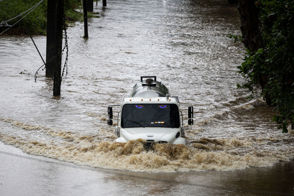
The hurricane “Erin” approached the east coast of the United States on Tuesday, August 19, bringing dangerous huge waves and strong rip currents, leading to at least 60 water rescue incidents and prompting emergency closures of multiple beaches along the East Coast.
Despite meteorologists predicting that the center of “Erin” would stay offshore, the hurricane’s outer bands are expected to continue to bring destructive tropical-force winds, huge waves, and dangerous rip currents, with impacts lingering until Friday, August 22.
Rip currents are swift, strong currents that can rapidly pull swimmers away from the shore, posing a significant risk to beachgoers.
Offshore flow warnings have been issued from Florida’s coastline to New England, with the expectation of the largest waves along the East Coast over the next two days.
New York City has announced swimming bans at beaches on Wednesday and Thursday, August 20 and 21. New York Governor Kathy Hochul has also ordered the closure of swimming at three state-run beaches on Long Island. Several beaches in New Jersey have similarly restricted access.
Raging waves were already seen on August 18 in some coastal areas, with at least 60 swimmers rescued due to rip currents at Wrightsville Beach near Wilmington, North Carolina.
Weather forecasts indicate that the Outer Banks of North Carolina will be most affected by “Erin”, prompting evacuation orders as storm surges could inundate roads, with waves potentially reaching up to 15 feet (about 4.6 meters).
Officials at Cape Hatteras National Seashore stated that the Outer Banks are a narrow, low-lying barrier island chain extending into the Atlantic Ocean, with weaker resistance to storm surges. Concerns are high that sections of major highways may be washed away, rendering some routes impassable for days. Additionally, dozens of beachfront homes, already damaged due to long-term erosion and dune loss, are now facing even greater risks.
Mandatory evacuations have been issued for Hatteras Island and Ocracoke Island in North Carolina. Since August 18, over 1,800 people have been ferried off Ocracoke Island.
North Carolina Governor Josh Stein urged coastal residents to be prepared for evacuations at any time and declared a state of emergency on August 19. However, local county officials noted that most residents chose to remain despite vivid memories of Ocracoke Island being inundated by 7 feet (2.1 meters) of floodwaters during Hurricane “Dorian” in 2019.
The tropical storm force winds of “Erin” extend up to approximately 230 miles (370 kilometers) from its center. The weather bureau predicts that as the hurricane moves across the Atlantic and heads northward, its storm range may expand further.
The National Hurricane Center forecasts “Erin” to remain active over the northeastern Caribbean Sea, the western Atlantic, including the Turks and Caicos Islands and the Bahamas on August 19, before turning towards Bermuda and the East Coast of the United States.
On Nantucket Island off the coast of Massachusetts, waves exceeding 10 feet (3 meters) could be seen later this week.
By August 19, the intensity of “Erin” slightly weakened from previous days, downgrading to a Category 2 hurricane with maximum sustained winds of 100 miles per hour (161 kilometers per hour).
Virginia, North Carolina, and Bermuda have issued tropical storm watches.
(Reference: Reports from the Associated Press)

