
Taiwanese meteorologist Wu Derong stated that today (November 27) will be clear and cloudless during the day, but it will turn very cold at night, reminding the public to be cautious of drastic temperature changes.
In a post on the program “Sanli Genuine Weather, Old Big Leaks from the Sky” today, Wu Derong, an adjunct associate professor at the Department of Atmospheric Sciences at National Central University in Taiwan, mentioned that the latest European model (ECMWF) simulation from 8 p.m. on November 26 indicates that from today until the early morning of December 1, a “dry” cold air mass will envelop Taiwan. The weather will be sunny and stable throughout the island during the day, with comfortable temperatures under the sunlight (highs in the north still around 23 degrees Celsius, while the central and southern parts will see temperatures of 27-28 degrees). However, rapid cooling will occur at night due to strong “radiative cooling.”
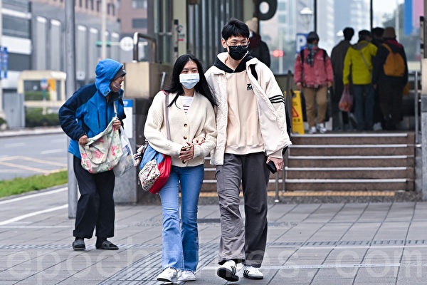
Wu pointed out that it will be very cold in the morning and evening today, with significant temperature differences between day and night. Particularly, the elderly and those with cardiovascular diseases should pay special attention to adjusting their clothing. The temperature in various regions today will range from 11 to 23 degrees Celsius in the north, 12 to 27 degrees in the central region, 13 to 28 degrees in the south, and 11 to 28 degrees in the east.
According to Wu Derong, the latest model simulations suggest that from December 1 during the day until the 3rd, the cold air mass will weaken. Starting from the 2nd and 3rd, moisture in the eastern parts will increase gradually, leading to a daily rise in the probability of brief, localized showers, while the western parts will remain sunny and stable with significant temperature differences between day and night.
He mentioned that the latest model simulations indicate that from November 28 until the early morning of December 1, due to the dry cold air mass and strong “radiative cooling,” the lowest temperatures on some plains of the island will drop to below 10 degrees Celsius in the early morning and at night. Even Taipei station will drop below 14 degrees, marking the first wave of cold air that meets the definition of a “continental cold air mass” (12 degrees < Taipei station ≤ 14 degrees).
The Taiwan Central Weather Bureau mentioned that this morning, a frontal system quickly passed through, followed by the southward movement of cold air and the strengthening of the northeasterly seasonal winds. Localized showers will occur in the northern and eastern regions, with the possibility of heavier rains mainly on the north coast of Keelung and mountainous areas of Greater Taipei. The rest of the island, Penghu, Kinmen, and Matsu will experience clear to mostly cloudy skies. As the day progresses, humidity will decrease, transitioning into drier and cooler weather later in the day. Tonight, the temperature in northern Taiwan will drop to around 15 degrees Celsius, while other regions will see temperatures from 16 to 18 degrees. Pay attention to temperature changes and stay warm.
The Central Weather Bureau of Taiwan stated that due to the influence of the continental cold air mass, the weather will feel cooler on the 27th. Most areas will be sunny and stable during the day, with scattered chances of rain in the Hualien-Taitung area only. Temperatures in the north and Yilan-Hualien are around 19-20 degrees Celsius, while other regions range from 22 to 25 degrees. At night, temperatures for northern and central parts of the island and Yilan-Hualien will drop to 13-15 degrees, and 15-17 degrees in the southern part with moderate temperatures during the day and colder mornings and evenings. Penghu will see temperatures of 19-21 degrees, Kinmen 15-20 degrees, and Matsu 14-16 degrees.
Furthermore, the northeast winds will be noticeably strong, with coastal and open areas from Miaoli to Tainan and parts of the Hengchun Peninsula, Orchid Island, Green Island, and Penghu experiencing wind gusts of 9 to 10 Beaufort scale. Northern Hsinchu, eastern coastal open areas, Kinmen, and Matsu will also have stronger gusts, with rougher seas in the nearby waters, with waves reaching 3 to 4 meters high. Please stay safe during seaside activities.