
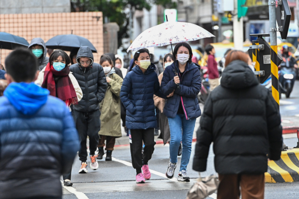
Taiwanese meteorological experts stated that the weather will be unstable on today (13th) and 14th, with a drop in temperature expected on the night of the 16th. From the 17th to the 22nd of next week, it will be relatively dry and cold, with fears of the cold wave strength dropping temperatures.
Associate Professor Wu Derong from the Department of Atmospheric Sciences at National Central University in Taiwan pointed out in a column for the “Foundation for Meteorological Applications Promotion” today that the latest European model (ECMWF) simulation from 8 p.m. on the 12th shows that a frontal system will linger near the northern offshore areas from today to the 15th during the day. Temperatures will slightly drop but remain warmer. Due to the approaching front and unstable atmosphere, there is a probability of localized brief showers or thunderstorms, with fog likely in the western half and the Kinmen area.
Wu Derong mentioned that according to the latest model simulation, from the evening of the 15th to the 16th, the front will move through with localized showers or thunderstorms expected across the region, possibly with heavier rainfall. As the cold air moves south on the evening of the 15th, temperatures will drop abruptly. By the night of the 16th, the temperature will have approached the standard of a “strong continental cold air mass,” with temperatures around 12 degrees Celsius in Taipei and some flatlands dropping below 10 degrees.
The latest model simulations indicate that from the 17th to the 22nd, there will be six consecutive days of clear and stable weather. From the 17th to the 20th during the day, it will feel warm in the sunshine, but from night to early morning, the “radiative cooling” effect will enhance the “strong continental cold air mass” into a “cold surge” (with temperatures in Taipei reaching 10 degrees or less). The lowest temperatures in the flatlands may even drop to around 5 degrees.
He mentioned that the latest model simulations are still being fine-tuned and require close observation. From the daytime of the 20th to the 22nd, the cold air will weaken, and temperatures will gradually rise daily, with very low temperatures in the early morning and evening due to “radiative cooling.”