
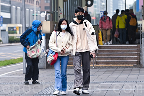
Taiwanese meteorological experts indicated that for the next two days, a cold air mass from the mainland will move southward towards Taiwan. Tonight and tomorrow morning, the minimum temperature in some plains areas is expected to drop below 10 degrees Celsius. Another wave of cold air mass will descend during the weekend, so people are advised to stay warm.
Due to the influence of radiative cooling, temperatures are significantly lower than usual. The Central Weather Bureau continues to issue alerts for low temperatures. There is a probability of temperatures below 10 degrees Celsius (yellow warning) in certain regions this morning to tomorrow morning. Areas with probabilities of temperatures below 10 degrees Celsius include Hsinchu County, Miaoli County, Taichung City, Changhua County, and Nantou County.
Associate Professor Wu Derong from the Department of Atmospheric Sciences at Taiwan Central University mentioned on the program “Sanli Weather Forecast” that the latest European model (ECMWF) simulation shows that the cold air mass from the mainland will move southward today and tomorrow. There is a chance of occasional brief rain in eastern areas of Greater Taipei and the eastern half, while the western half will be mostly sunny with a cold shift all day in northern Taiwan and cold mornings and evenings in the central and southern regions.
Wu Derong also stated that tonight and tomorrow morning, the minimum temperature in some plain areas will drop below 10 degrees Celsius. Agricultural and aquaculture industries should be cautious, and people should pay attention to staying warm for their health.
According to Wu Derong, the latest simulations from various countries indicate that the cold air will gradually weaken on the 20th with a slight temperature rebound. However, from the afternoon of the 21st to the early morning of the 23rd, another strong cold air mass will move southward, bringing colder weather again. Today, temperatures are expected to range from 10 to 18 degrees Celsius in the north, 11 to 24 degrees Celsius in the central region, 12 to 25 degrees Celsius in the south, and 11 to 25 degrees Celsius in the east.
The latest simulations from various countries show that the cold air will gradually weaken on the 20th with a slight temperature rebound. From the afternoon of the 21st to the early morning of the 23rd, another strong cold air mass will move southward, causing the weather to turn cold again. The intensity as simulated by the European (ECMWF) and American (GFS) models has been adjusted to be similar to the previous two waves. The highest probability remains for the cold air mass from the mainland (defined as 12 degrees < Taipei station low temperature ≤ 14 degrees), but due to nighttime radiative cooling, the minimum temperature in some plain areas may drop below 10 degrees in the early mornings, meeting the criteria for issuing a "low temperature alert." It is recommended to continue staying warm.
Regarding next week's weather in Taiwan, Wu Derong mentioned that from the daytime of the 23rd to around Christmas on the 26th, the cold air will weaken and temperatures will gradually rise. However, for the system after the 27th, which has been simulated for over 10 days, there is still a high level of uncertainty in both European (ECMWF) and American (GFS) models regarding its intensity, timing, and sequence. There is no certainty yet that it will be a cold surge (defined as a low temperature of 10 degrees or below in Taipei), and continuous observation is necessary.