
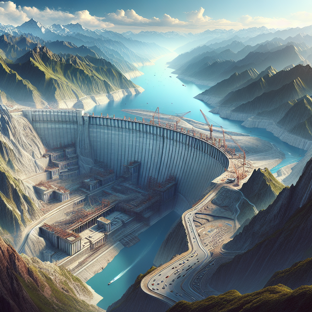
China is currently constructing the world’s largest hydropower dam, known as the Yarlung Tsangpo Hydropower Project, in the southeastern part of Tibet, along the downstream of the Yarlung Tsangpo River, before entering India, in the region of Nyingchi. With a total investment of up to 1.2 trillion Chinese Yuan (approximately 170 billion US dollars), the dam is expected to start operation in the mid-2030s. This has raised strong concerns from India, fearing that during dry seasons, the cross-border river flow could decrease by up to 85%, threatening the agriculture, industry, and water security of millions of downstream residents.
According to an undisclosed analysis by the Indian government, the Yarlung Tsangpo Hydropower Project could regulate water flow by up to 40 billion cubic meters, roughly one-third of the annual water intake at the key cross-border point, potentially severely affecting agricultural irrigation and domestic water supply in India.
In response to the potential impact, India is accelerating the implementation of the Upper Siang Multipurpose Storage Dam project in Arunachal Pradesh, referred to by China as the “Southern Tibet region.” Once completed, the dam will be able to store 14 billion cubic meters of water, becoming India’s largest water facility. It will not only supply water for industrial and agricultural purposes during dry seasons but also help reduce disaster risk during Chinese flood releases.
However, since the project was proposed in the 2000s, it has faced strong opposition from local communities that has hindered progress. It was not until last December when China announced the construction of a massive dam before the Yarlung Tsangpo River enters India, deepening New Delhi’s sense of crisis. India is concerned that if a long-time rival controls a critical water source, it may be “weaponized.”
Indian Prime Minister Modi has convened multiple meetings to push forward the SUMP project. However, in May of this year, India’s largest state-owned hydropower company, NHPC, faced intense resistance from local residents when survey equipment was escorted by armed police to the proposed construction site. Opponents not only destroyed the survey equipment and a nearby bridge, but also looted the temporary camp of the guarding police, forcing related operations to be conducted secretly at night.
The opposition largely stems from the Adi tribe residents, who have traditionally depended on rice, citrus, and yams cultivation for their livelihoods and fear that relocation will destroy their traditional way of life.
To win the hearts of the people, the Indian government initiated compensation negotiations in June. NHPC pledged to invest over 3 million US dollars in education and infrastructure to persuade villagers to agree to relocation. According to two sources, at least 16 Adi tribal villages may be submerged in the dam’s reservoir area, directly impacting an estimated population of 10,000. Community leaders state that the overall affected population could exceed 100,000 people.
Despite the support of the Chief Minister of Arunachal Pradesh for the project, who sees the Chinese dam as a “threat to survival,” convincing residents remains challenging. While three villages have agreed to start operations, anti-dam sentiments have not subsided.
The Yarlung Tsangpo River originates from the Angsi Glacier in Tibet, traverses the southern Tibetan plateau eastward, and upon entering India, it is known as the Brahmaputra River or Siang River. After flowing into Bangladesh, it is named the Jamuna River. Upon joining with the Ganges River in Bangladesh, it empties into the Bay of Bengal. The Yarlung Tsangpo River sustains over a hundred million people in the region, serving as the lifeline for agriculture and power generation.
On July 19th, the Chinese Communist Party officially launched the downstream hydropower project on the Yarlung Tsangpo River in Nyingchi, with the core project being the Motuo Hydropower Station.
On August 18th, Indian Foreign Minister S. Jaishankar expressed strong concerns and emphasized the need to take measures to safeguard the safety of downstream residents during talks with Chinese counterparts. Beijing responded by stating that the project “benefits the entire river basin for disaster prevention and mitigation and will not have adverse effects on downstream areas.”
However, due to China’s withholding of complete project design details and long-standing territorial disputes along the Sino-Indian border, New Delhi views this move as a potential strategic threat. Particularly since the region witnessed a border war in the 1960s, intensifying India’s concerns.
India’s Upper Siang Dam project has faced delays due to protests, and even if it progresses smoothly, the dam will take about a decade to complete. In comparison, China’s Motuo Dam is expected to start operation in the early to mid-2030s, putting India at a disadvantage during the construction period. This means that downstream areas will still face the risk of floods and water shortages, with the sudden flood releases from China in the rainy season posing a significant threat to construction safety.
The downstream regions of the Yarlung Tsangpo River in India and Bangladesh heavily rely on the river for irrigation, supply, and power generation. Experts warn that once the Motuo Dam intercepts a large amount of nutrient-rich silt, downstream agriculture may face long-term impacts.
Furthermore, Tibet and the Indian state of Arunachal Pradesh are located in a seismically active zone with frequent extreme weather conditions. Experts point out that large dams in such environments carry potential risks: earthquakes, landslides, or glacial lake outburst floods could lead to catastrophic consequences.
(This article referenced reports from Reuters.)