
As of Thursday morning, the National Weather Service (NWS) has issued winter weather alerts for up to eight states across the United States, including most parts of the Northeast, Alaska, and Colorado.
The NWS warns that in Alaska, several inches of snow could create dangerous road conditions, while in the Northeast, frost and freezing could harm outdoor vegetation.
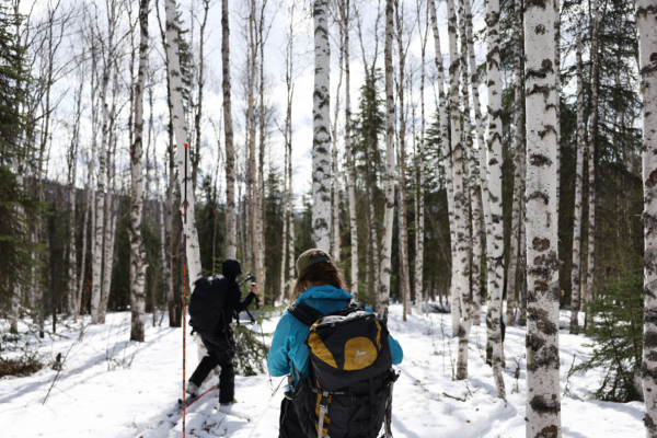
It is worth noting that this snowfall in Alaska is coming earlier than usual this year, by nearly two weeks compared to the inland regions. Other affected states are mostly at or later than their average first freezing dates.
The Chena Hot Springs Resort in central Alaska and areas east of the 34-mile marker on the Chena Hot Springs Road have issued winter weather advisories, with expected snowfall ranging from 3 to 5 inches.
Warnings have also been issued for the Steese Highway up to around the 90-mile marker and the higher elevation White Mountains region, with the potential for snowfall accumulations of up to 6 inches.
The alerts emphasize that hazardous road conditions will affect commutes Thursday evening and Friday morning. Drivers are urged to exercise caution as roads will be slick. The warning is in effect from 2 PM Alaska Daylight Time (AKDT) on Thursday afternoon and will be lifted at 10 PM on Friday evening.
At the same time, freezing alerts cover parts of New York, Vermont, and New Hampshire. According to the notifications in effect at the time of reporting, temperatures in these areas could drop to the mid-20s to low 30s Fahrenheit (-3.8°C to -0.5°C) overnight.
The NWS warns: “Frost and freezing may kill crops, other sensitive vegetation, and may damage unprotected outdoor plumbing.”
Furthermore, frost warnings have been issued for the northern and central parts of Pennsylvania, southern Maine, western Massachusetts, and the central and southern regions of Colorado’s San Luis Valley. The NWS states that temperatures in these areas, in the mid-30s Fahrenheit (approximately -0.5°C to 4°C), could lead to frost, posing a risk to outdoor vegetation.
Meteorologists point out that after this cold snap on Thursday night, the affected areas will experience a temperature rise, with no frost expected over the weekend.
Mark Pellerito of the Binghamton NWS in New York told Newsweek on Wednesday: “After Thursday night, we’re going into a warmer period, so from the weekend into the middle of next week, we’re not expecting any frost/freezing conditions. In fact, this weekend is expected to be sunny, with temperatures reaching the mid-70s and even close to 80 degrees Fahrenheit (around 21°C to 26°C).”