
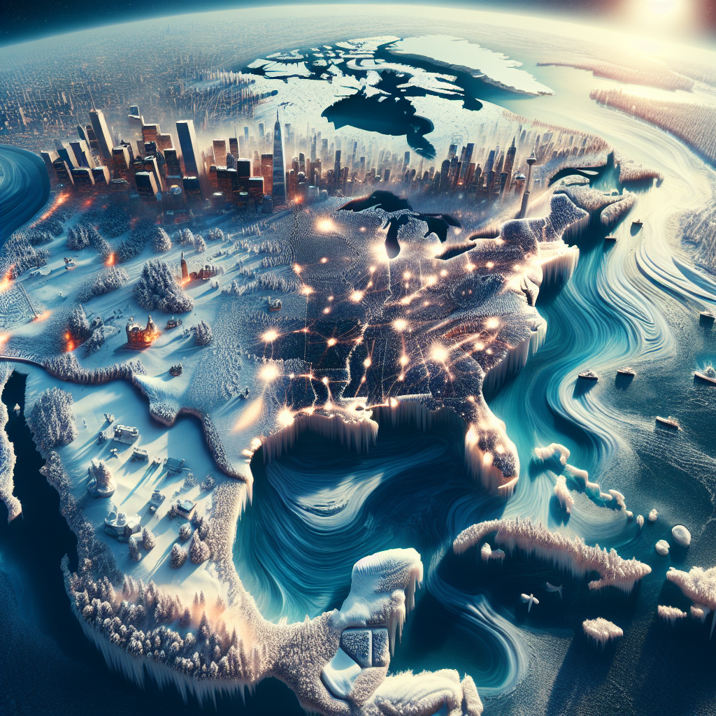
A major cold wave grips the United States this month as the Arctic air mass extends its reach due to disruptions in the polar vortex. Over 200 million people across the country woke up to subzero temperatures in regions spanning from the plains, Midwest, Great Lakes to the Northeast. Dozens of cities are at risk of breaking daily record lows amidst this relentless cold snap.
Meteorologists issue a stern warning that this is just the first wave of three anticipated cold fronts. Mid to late December will see the arrival of two more powerful Arctic air masses, culminating in a rare event dubbed the “triple-dip polar vortex.” The destabilization of the polar vortex has caused the jet stream to waver significantly, allowing frigid Arctic air to spill into mid-latitudes and prompt swift and drastic temperature transitions between mild and extreme cold in the U.S., with the chilly weather expected to persist through the end of December.
Currently, multiple regions in the U.S. are enduring extreme wind chill effects ranging from 10 to 25 degrees Fahrenheit below zero, significantly increasing the risk of frostbite for individuals. The Northeast could face dangerous snow squalls on Thursday, dramatically reducing visibility and potentially triggering chain-reaction traffic accidents, alongside a surge in energy demand.
Research experts speaking to CNN attribute this cold wave and the upcoming intensified cold air over the next two weeks to disturbances in the polar vortex that began in late November. The Arctic air mass has enveloped the plains, Midwest, and Great Lakes regions, pushing temperatures below freezing levels across the board. As the cold air sweeps towards the Northeast on Thursday, areas in upstate New York and central northern New England are most likely to encounter perilous snow squalls.
Thursday morning already saw subzero temperatures in northern Iowa, with certain cities either tying or surpassing local record lows: Aberdeen, South Dakota registered -18 degrees Fahrenheit, matching the existing record, while Sioux City, Iowa hit -9 degrees Fahrenheit, equalling historical lows.
The Midwest is currently experiencing a premature deep freeze resembling mid-winter conditions. The southward influx of frigid Canadian air has lowered afternoon temperatures across numerous areas to only the teens in Fahrenheit, around 20 to 30 degrees below average. Cities like Milwaukee and Green Bay in Wisconsin, and Des Moines in Iowa, are poised to observe their coldest December 4th on record.
Friday morning could see more records shattered from Illinois to the East Coast, with forecasts predicting Chicago potentially plummeting below the local record low of 4 degrees Fahrenheit, while South Bend, Indiana approaches the 1899 record of 4 degrees Fahrenheit. Several cities in Pennsylvania are expected to experience lows in the teens in Fahrenheit, setting new local records.
New York City is bracing for temperatures dropping to around 20 degrees Fahrenheit on Friday morning, marking the coldest day since March of this year. John F. Kennedy International Airport and LaGuardia Airport face the possibility of record-breaking low temperatures.
Due to the turbulent polar vortex, the U.S. is in for fluctuating patterns of warm-ups followed by sudden freezes throughout the remaining days of December. This heightened oscillation between warm and cold weather is set to be more frequent this year compared to previous years, as the overall trend of chilliness will persist until the end of the year.
Researchers explain that the polar vortex, originally designed to contain freezing air, has been compromised by its weakening, intensifying the fluctuations of the jet stream. These fluctuations have caused Arctic cold air to continuously spill into densely populated mid-latitude regions, resulting in abrupt and severe weather changes. Experts caution that although winter has yet to officially begin, this early onset of cold weather is expected to have a prolonged impact on the United States.