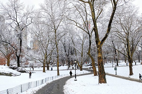
La Niña phenomenon has returned during the autumn and winter seasons for the second consecutive year and may have a significant impact on the seasonal weather patterns in the United States.
The latest monitoring data from the National Oceanic and Atmospheric Administration’s (NOAA) Climate Prediction Center shows that the central Pacific Ocean temperatures have dropped to 0.5 degrees Celsius (0.9 degrees Fahrenheit) below average, prompting the issuance of a La Niña advisory on Thursday, October 9.
La Niña occurs as a result of changes in sea surface temperatures in the central Pacific. When the temperatures in this region fall 0.5 degrees Celsius below the normal average, it is considered La Niña, while temperatures higher than 0.5 degrees Celsius indicate El Niño. When the sea surface temperatures are within this range, the climate pattern is referred to as a “neutral” state.
Studies have shown that these temperature changes in the sea can have cascading effects on the weather in the tropical Pacific region, thus influencing global weather patterns significantly.
Historically, when La Niña affects the winter in the United States, it typically results in colder and wetter conditions in the northern regions and warmer, drier conditions in the southern regions. It may also lead to prolonged drought in the southwest and above-average mountain snowfall in the Pacific Northwest.
The northern regions of the Northern Plains usually experience a harsher winter (colder), while the Great Lakes region tends to be wetter. The southeastern and southwestern regions extending into Texas typically have a warmer, drier winter.
Another factor to consider is that this La Niña event is expected to remain at a relatively weak level, with the sea surface temperatures forecasted to not drop more than 0.9 degrees Celsius below average. Therefore, its impact on the winter weather in the United States is expected to be limited.
NOAA forecasters stated in their monthly update, “Although predictable signals may still influence forecast guidance, a weak La Niña is not likely to have the typical impacts on winter weather.”
Moreover, forecasts indicate that the duration of this La Niña event will be relatively short-lived. There is a 55% chance that by midwinter, the sea temperatures will start warming up and return to a “neutral” state.
NOAA points out that the presence of La Niña has indeed affected the seasonal weather outlook for this autumn and winter. Especially in the agency’s 90-day outlooks covering November to January and December to February, the potential arrival of La Niña has been taken into consideration.
According to meteorologists’ predictions, temperatures in the northern regions of the United States (particularly the Pacific Northwest) may be below average, while temperatures in the southern regions may be above average.
La Niña also influences precipitation forecasts. Forecasters anticipate that the rainfall/snowfall in the northern regions will be above average, while the southern regions will be drier.
NOAA’s long-term forecasts suggest that once La Niña dissipates later this winter or early next spring, the neutral state may return and impact the weather in the following spring.
(Adapted from a report by Fox News)

