
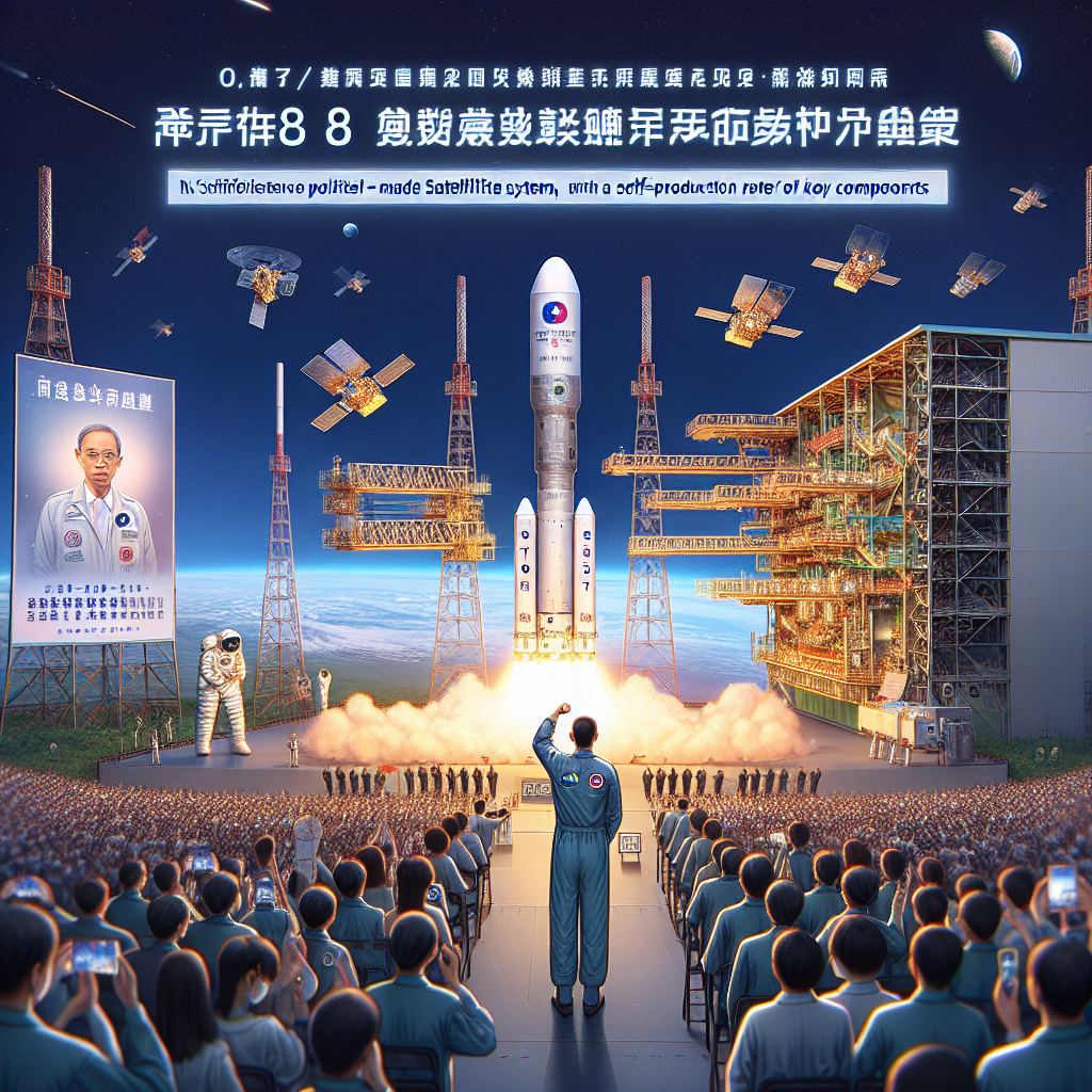
On October 7, 2025, the National Space Organization of the Republic of China (Taiwan) held a launch ceremony for the “Formosa 8 Satellite System, Qibalin Satellite.” President Tsai Ing-wen stated that this satellite is Taiwan’s first self-made satellite system, with a self-production rate of key components reaching 84%, symbolizing a significant milestone in Taiwan’s space technology development and putting Taiwan on the international space market stage.
The Formosa Satellite 8 (Formosat-8), abbreviated as “Formosat-8,” is Taiwan’s first self-made satellite system consisting of eight optical remote sensing satellites. The first satellite (FS-8A) was launched today from the National Space Organization’s facility in Hsinchu, Taiwan, and will be sent to the United States for launch in the fourth quarter of this year.
President Tsai Ing-wen mentioned that the satellite named “Qibalin” is named after the late director Qibalin, who, like his father, used lenses to let the world “see Taiwan.” The satellite will carry on the spirit of the late Qibalin in guarding Taiwan, continuing the mission of “Watching over Taiwan, Observing the World” with higher resolution to signify an important step for Taiwan’s advancement into a new era of space.
The “Formosa 8 Satellite” was independently developed by the National Space Organization in collaboration with Taiwan’s industry, academia, and research sectors. It includes six optical remote sensing satellites with an original resolution of 1 meter and two ultra-high-resolution optical remote sensing satellites with a resolution less than 1 meter. These satellites will be launched annually starting this year, with completion expected by 2031. Compared to Taiwan’s first self-made optical remote sensing satellite, “Formosa 5 Satellite,” with an original resolution of 2 meters launched in 2017, Formosa 8 Satellite offers higher resolution and is designed to operate in a constellation to provide more frequent and clearer surface imaging.
President Tsai emphasized that today is a significant day for Taiwan and the National Space Organization, as the first satellite of the “Formosa 8 Satellite” system is being launched. The birth of “Formosa 8 Satellite” marks a milestone in Taiwan’s space technology arena and will continue the mission of “Watching over Taiwan, Observing the World” with higher resolution after taking over from “Formosa 5 Satellite.”
President Tsai stated that with the foundation laid by Formosa 5 Satellite, the National Space Organization has continued to enhance satellite technology development. The “Qibalin Satellite” involved over 20 industry, academia, and research units in design, manufacturing, integration, and testing, achieving a self-production rate of key components of 84%. He expressed confidence that with continued effort, the self-production rate of future satellites will further improve.
President Tsai noted that the Qibalin Satellite, along with subsequent satellites, will form a closely-knit ground observation network. Satellite data will be widely used in national land planning, agricultural monitoring, disaster response, and environmental protection, enhancing citizens’ well-being and strengthening national resilience to actively address challenges posed by climate change and geopolitical risks.
The Chairman of the National Science Council, who also serves as the TASA Chairman, Wu Cheng-wen, highlighted the rapid growth of the global space industry in recent years, covering low-orbit satellite communications, remote sensing applications, space resource exploration, and environmental monitoring. Space has become an indispensable part of global economic development.
Wu Cheng-wen pointed out that the estimated global space economy scale is expected to reach 1.8 trillion US dollars by 2035. Leveraging Taiwan’s industrial advantages in information and communication technology, precision machinery, and electronics, through the National Space Plan, Taiwan can accumulate industrial-academic technological energy, obtain flight heritage, and lead Taiwanese companies to enter this trillion-dollar market, providing full support for the national security and economic development of the Republic of China and strengthening the national space resilience.
Quentin Tsai, the son of director Qibalin and a director of the Qibalin Foundation, reflected that his father had spent his life flying in the sky and is now flying even higher. He believed that naming the satellite after his father was to imbue it not only with machinery but also with spirit, value, or shared memory, giving warmth to the satellite with his father’s name.
Director Wu Tsung-hsin of TASA explained that the Formosa 8 Satellite project was established in 2019, with three project leaders taking charge successively. After going through key design reviews, assembly, environmental testing, and other stages, it can be said that every step was challenging, but fortunately, with the collective effort of colleagues, every challenge was overcome. The Qibalin Satellite is the culmination of Taiwan’s efforts, with its payload, satellite computer, power control unit, attitude and orbit control subsystem, and most key components and technologies developed independently in Taiwan.
Wu Tsung-hsin pointed out that the Qibalin Satellite collaborated with 33 domestic industrial, governmental, academic, and research units. If the satellite operates successfully, partners can use it to verify technology, and the satellite’s components and software can obtain flight heritage.
In addition to its main mission of remote sensing imaging, the Qibalin Satellite carries a scientific payload “Dual-Band Atmospheric Transient Imager (DIAT) and Electron Temperature-Density Probe (TeNeP)” developed by Professor Chen Bing-zhi of the Department of Physics at National Cheng Kung University for studies related to lightning and the ionosphere. It can observe the ionosphere and conduct research on the origin and triggering mechanisms of terrestrial gamma-ray flashes (TGF).
The “Qibalin Satellite” will be deployed in a sun-synchronous orbit 561 kilometers above the earth’s surface. Through post-processing of ground imaging (Super Resolution), it will achieve ultra-high resolution of less than 1 meter. Once the satellite system is completed, it will provide multiple daily revisits and globally covered satellite images, meeting real-time satellite resource demands.