
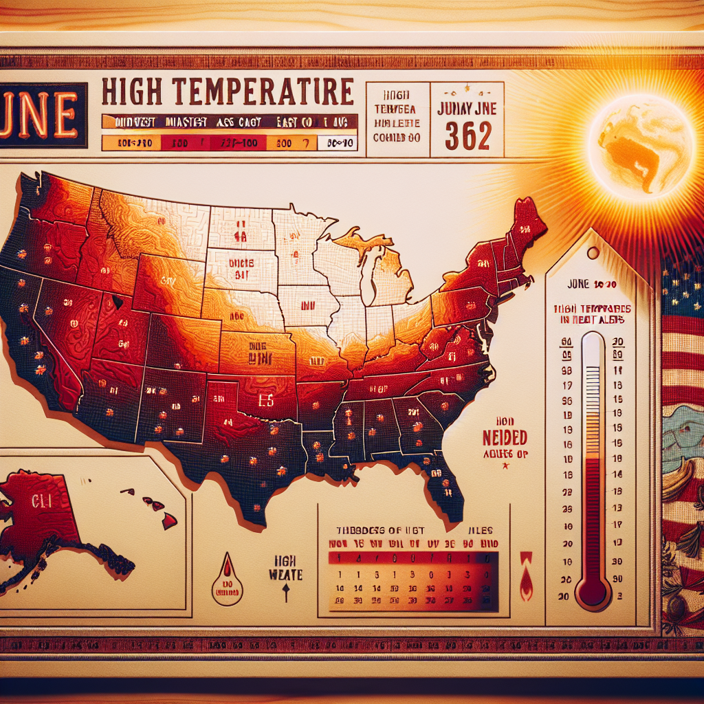
On Sunday, millions of people in the Midwest and East Coast of the United States once again faced extreme heat waves, with this June heatwave sweeping across most parts of the country expected to last into the end of the month.
The National Weather Service stated that high temperature alerts have been issued for much of the northeastern region of the United States, from Minnesota to Maine. Parts of Arkansas, Tennessee, Louisiana, and Mississippi are also under high temperature alerts.
Local meteorological offices in the region have warned that the oppressive and sometimes life-threatening weather conditions will persist until Wednesday.
Meteorologists attribute the extreme heat to a phenomenon known as a “heat dome,” a large-scale high-pressure system located in the upper atmosphere that traps heat and moisture.
Due to severe storms and forecasted extreme heat, New York Governor Kathy Hochul declared a state of emergency for 32 counties in the state.
On Sunday, the Midwest and East Coast saw a second consecutive day of extreme high temperatures. In Chicago, the heat index reached 103 degrees Fahrenheit (39.4 degrees Celsius), while the heat index in Madison, the capital of Wisconsin, was 101 degrees Fahrenheit (38.3 degrees Celsius) on Saturday.
Pittsburgh recorded a heat index of 105 degrees Fahrenheit, and Columbus, Ohio, maintained a heat index around 104 degrees Fahrenheit (40 degrees Celsius).
Philadelphia’s forecast predicted a heat index of 108 degrees Fahrenheit (42.2 degrees Celsius) on Monday. The city announced a heat emergency, which will last until Wednesday night. Officials advised residents to seek relief in air-conditioned places such as libraries and community centers, and established a “heatline” staffed by medical professionals to address heat-related health issues and illnesses.
The high temperatures are expected to continue this week, with the peak temperatures shifting eastward. New York City is forecasted to reach a high of 95 degrees Fahrenheit (35 degrees Celsius) on Monday and Tuesday, Boston’s high on Tuesday is expected to approach 100 degrees Fahrenheit (37.7 degrees Celsius), and Washington D.C. will experience even hotter temperatures, with highs expected to reach 100 degrees Fahrenheit on Tuesday and Wednesday.
Mark Gehring, a meteorologist at the National Weather Service in Wisconsin, noted that while such high temperatures are not uncommon in the U.S. summer, they typically occur in mid-July or early August. He pointed out that the most unusual aspect of this heatwave is its wide-reaching impact.
Essentially, all areas east of the Rocky Mountains have been affected, with high humidity and high temperatures occurring simultaneously across such a vast region, making it highly uncommon.
(Reference: The Associated Press)