
According to the latest map released by California Fire Chief Daniel Berlant on February 24th, the area in Northern California’s wine country classified as “Very high” fire risk has significantly increased since 2011.
These new maps are the second phase of the California 2025 Fire Hazard Zone Plan. The first phase was released on February 10th, covering the inland areas of Northern California. The second batch released includes new fire hazard maps for several counties in Northern California.
Recent surveys show that the “Very high fire risk” area in Napa County has expanded to over 5,000 acres, compared to about 700 acres in 2011, an increase of more than 6 times. The county is home to approximately 475 historic and modern wineries.
In Sonoma County north of San Francisco, the “Very high fire risk” area now exceeds 9,400 acres, up from nearly 1,700 acres in 2011, more than 4 times larger. The county boasts over 425 wineries and is the largest wine-producing region in Northern California.
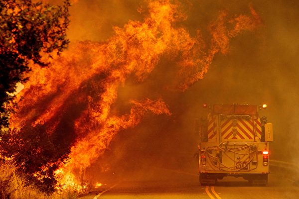
Shortly before these findings, Los Angeles County experienced the Palisades Fire and Eaton Canyon Fire, resulting in 29 fatalities and over 16,800 structures destroyed.
The newly published risk maps mark California’s first update of fire hazard areas since 2011 and may impact building regulations, contingent upon adoption by individual counties or local governments.
California Fire Deputy Chief Kara Garrett told Epoch Times: “These maps are recommendations we’ve presented to local agencies, which may not be fully adopted by them, depending on how they choose to utilize these maps.”
This week’s second phase update includes the wine country areas of Mendocino, Sonoma, and Napa counties, as well as other counties in the Bay Area such as San Francisco, San Mateo, Santa Cruz, Merced, Santa Clara, Alameda, Stanislaus, and San Joaquin. Updated maps also cover Humboldt, Del Norte, and Yolo counties.
To determine the severity of fire risk, the California Fire Department considers the area’s fire history and geographical conditions, such as terrain, typical weather patterns, existing and potential fuels and vegetation, predicted flame lengths, and the risk of embers spreading.
Garrett stated that these updated maps are a response to the SB63 bill passed in 2021, which made several modifications to state laws aimed at strengthening California’s fire prevention efforts. The current maps indicate areas of moderate, high, and very high risk, whereas previously only very high-risk areas were shown.
On February 6th, Governor Newsom signed an executive order to enhance statewide fire preparedness.
“We’re living in an era of unprecedented change and we have to believe in science,” he stated in a press release. “Nature is changing our way of life and we must continue to adapt to these changes.” The governor added that state authorities need to keep updating standards for areas at highest risk of fires.
The order directs the State Forestry Commission to expedite the implementation of the “Defensible Space” regulations, requiring structures in the highest fire risk areas to have defensible space within 5 feet. The governor’s office stated in a press release: “Science has shown that combustible materials within 5 feet of a structure are most likely to directly or indirectly ignite fires.”
The directive also mandates the California Fire Department to release updated fire risk maps covering areas under the jurisdiction of local governments, incorporating 1.4 million acres of land into two higher risk categories.
The state government anticipates that new construction or planning regulations will apply immediately to new projects, while requirements for existing homes may be phased in over three years to allow homeowners time to prepare fire prevention measures and obtain financial aid.