
New York City is expected to see its first major snowfall of the winter season this weekend. Meteorologists predict that the accumulated snowfall throughout the city may reach 1 to 3 inches (approximately 2.5 to 7.6 centimeters); however, the final snowfall amount may vary due to the storm’s path.
According to AccuWeather’s forecast, the storm is projected to move into the northeast of the United States and is expected to impact New York City from late Saturday night into Sunday morning. If the core of the storm shifts slightly southward, it may bring heavier snowfall to the city center; if it shifts northward, the snowfall amount may decrease and transition more quickly into sleet or rain.
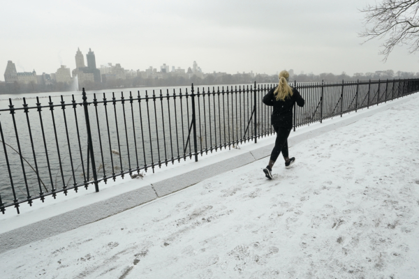
Meteorological experts point out that although the snowfall in New York City has been relatively low over the past few winters, this season’s first snowfall is arriving relatively early, accompanied by low temperatures and strong winds, potentially causing reduced visibility and slippery roads.
Even though temperatures are expected to slightly rise during the daytime on the weekend, another wave of cold air is set to impact New York City on Sunday and Monday, with high temperatures only reaching around the lower 30s Fahrenheit (approximately -1 to 1 degrees Celsius), continuing to bring strong coldness.
Ahead of the snowfall, biting cold winds continue to envelop New York City. Friday’s temperatures are forecasted to remain around the mid-30s Fahrenheit, with wind chill effects making it feel like it’s in the teens (around -9 to -6 degrees Celsius).
City officials advise residents to prepare for snowy weather: check home heating systems in advance and prevent pipes from freezing; wear warm clothing when going out and minimize prolonged outdoor exposure to avoid frostbite; drive cautiously on snowy days, watch out for slippery road surfaces, avoid sudden stops or sharp turns, and allow extra commuting time.