
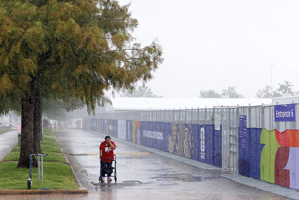
Heavy rainfall hit parts of southern Texas on Sunday, November 8, raising the risk of flash flooding. This threat is anticipated to persist into Monday, with some areas expecting total rainfall amounts to reach between 7 to 9 inches.
Due to several consecutive days of downpours, the ground in southern Texas has become saturated, prompting ongoing flood warnings throughout the region.
Cities in southern Texas, including Corpus Christi, Laredo, San Antonio, Brownsville, and Kerrville, are all under flood warnings until Monday morning. Rainfall in these areas is expected to be widespread, ranging generally from 2 to 5 inches, with some regions potentially encountering the higher end of 7 to 9 inches.
Since Sunday morning, parts of southern Texas have reported cumulative rainfall exceeding 5 inches, particularly in areas extending from Laredo eastward to near Kingsville.
As the evening approached, forecasts predicted moderate to heavy rain for parts of southern Texas, continuing into the Monday morning commute.
The heaviest and most prolonged rainfall is expected from Sunday afternoon through the evening. The risk of flash flooding, classified as a level 2 on a scale where 4 is the highest, is a significant concern for areas including Brownsville, Corpus Christi, San Antonio, and Kerrville. In localized regions, rainfall rates could reach between 1 to 2 inches per hour at times.
The southwestern part of Texas has endured heavy rainfall for two consecutive weekends, resulting in widespread flooding that affected local voters during the midterm elections held the previous Tuesday.
In response to this ongoing challenge, Texas Governor Greg Abbott ordered the Texas Division of Emergency Management to enhance preparations to tackle the persistent threat of flooding.
Authorities continue to monitor the situation closely and urge residents to stay informed about weather updates and to take necessary precautions as heavy rains are forecasted to continue affecting the region.